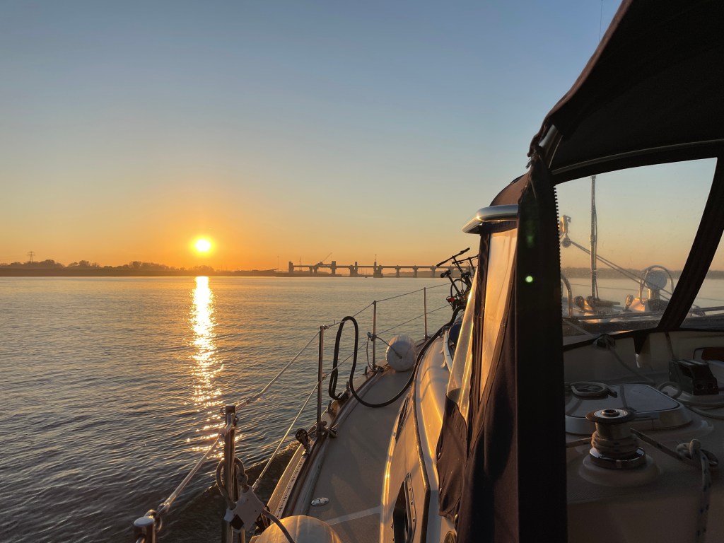
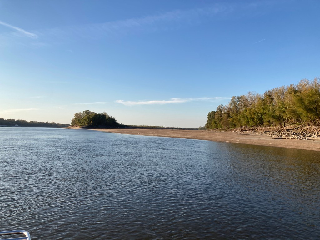
Like the Illinois River, the Mississippi river is also very low. There is plenty of water for us to travel, but many of the anchorages are dry. This is causing us to make inconsistent trips. The next stopping area may be 40 miles one day and 90 miles the next. Most Loopers use the Nebo App, which is a boat tracking and messaging tool. I’m often messaging boats who are a day ahead of me to get updated conditions.
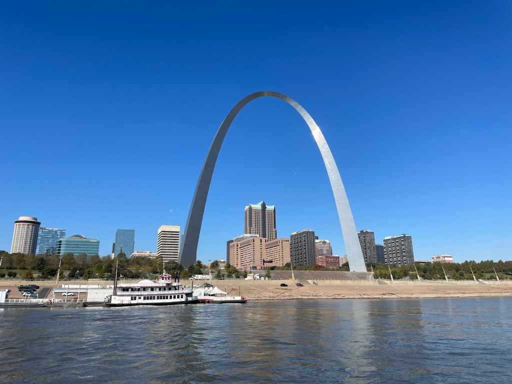
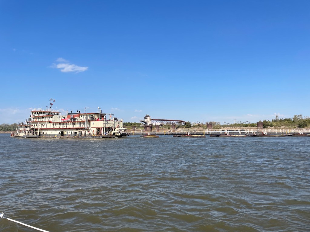
We left Alton, IL on Monday and did our only 2 locks on the Mississippi river. We won’t have to deal with another lock until the Ohio River and the Olmsted Lock and then the Barkley Lock to get into Kentucky Lake.
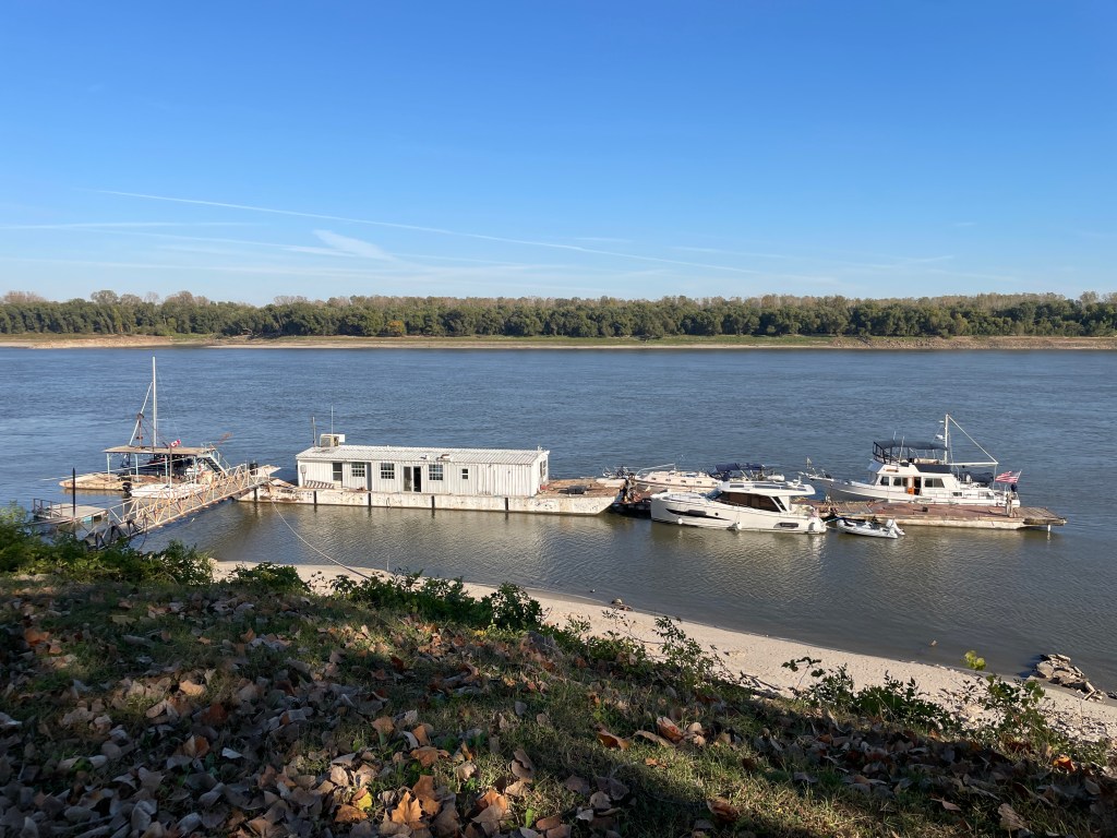
From Alton, our next stop was the iconic Hoppies in Imperial MO, where we got an updated briefing from Debbie, the owner’s daughter. Glad we stopped because she had updated info on river conditions. As I write, we’re anchored in an area she told us about that’s not in ANY of guide books or charts. Before we committed to it, I used Nebo to messages some boats I knew anchored there the night before.
After Hoppies, we turned up the Kaskaskia River and anchored on the lock wall. Our group that left Alton together all tied up to the same lock wall and we spent the evening chatting and making plans for the next day.
From the Kaskaskia, we had a long journey of almost 100 miles to get to the newly found, unnamed anchorage. I don’t even know what to call it. The phone seems to think I’m in the town of Diehlstadt MO, so I’ll go with that.
Tomorrow we finish the Mississippi River and at Cairo IL turn up the Ohio River. More to come on that.

Hi Loopers,
We are in Tokyo, and will spend 3-1/2 weeks traveling in Japan.
Thanks for sending us updates so that we can follow your river adventures. It sounds like you’re having to do a lot of problem solving with the low water situation.
Laura & Doug
LikeLike
Sent from my iPhone
LikeLike
This is very interesting to see. I am going to send Sue some photos of: St Louis 2010, the Mississippi in 2009, and the Ohio 2018. Water in those years was super high. Also if you get a chance to check out Paducah, it is a very interesting town to visit.
LikeLike
Love being able to keep up to date with the trip!
LikeLike
Very interesting to see the water levels. Water was very high in 2009, Mississippi 2010 St. Louis and 2018 Ohio River. I’ll send Sue photos. It is wonderful to witness your trip!
LikeLike
Back here in Chicago, I’m getting ready to tarp the boat for the winter. Enjoying your travel updates.
LikeLike