Block Island

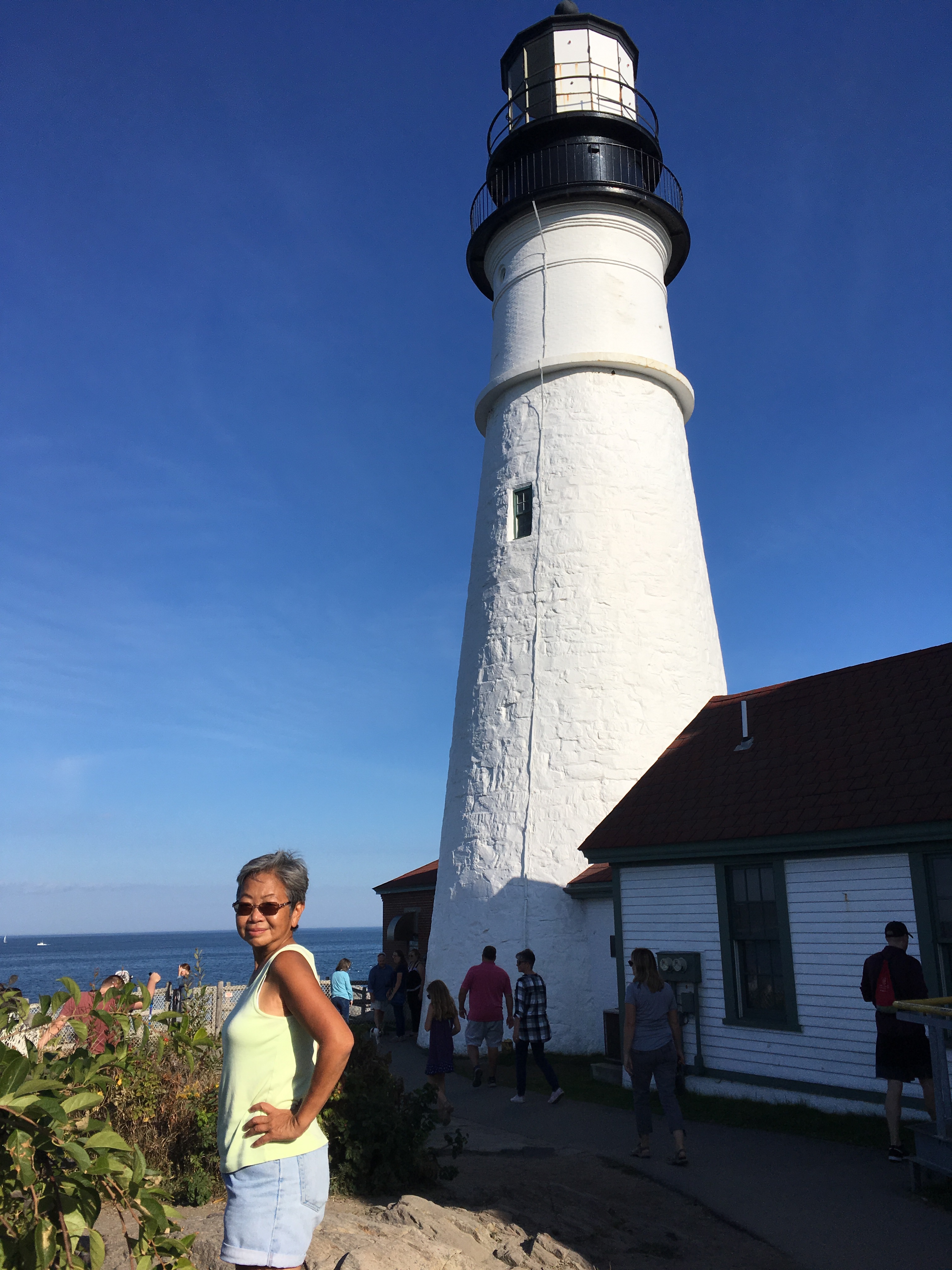
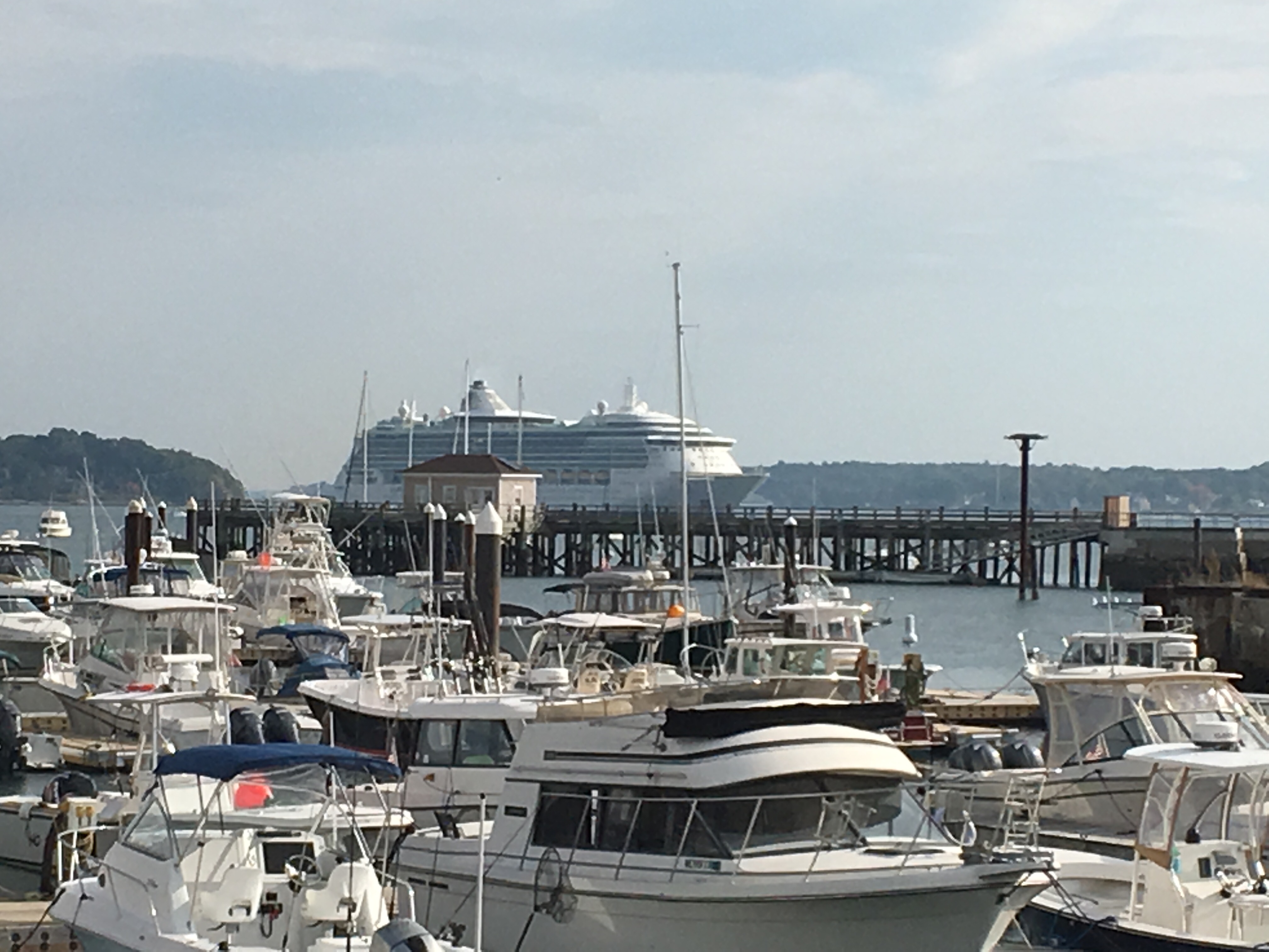
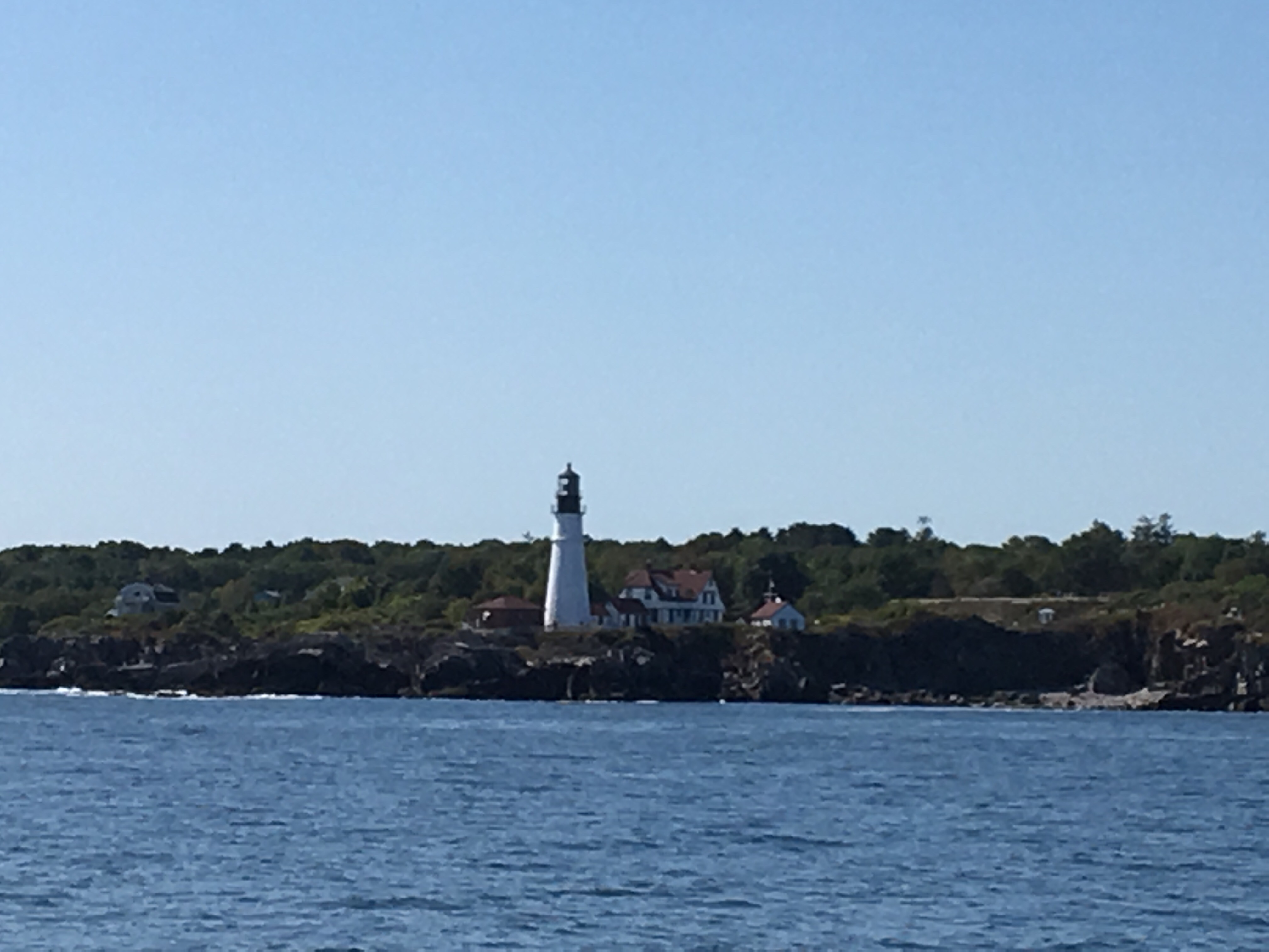
We left Portland and we’re trying to reach the Cape Cod Canal around 7:30AM. That’s when slack water was occurs and the currents change in our favor. We had until noon before the currents reverse on us.

Before we left, I thought we might motor sail a bit to make the time window. Once we left Portland and got outside of Casco Bay, sailing conditions were excellent. The computer was showing us arriving at 4AM. I was willing to fight the current, but I wasn’t going to do the canal in the dark.

I kept bringing in sail and finally got our speed down to 6 knots, and an arrival time at sun rise, and that’s about the time we arrived.

The trip was much nicer than the Gulf of Maine crossing. I won’t say it was warm, but it wasn’t as cold. One coat was enough for me. Once through the canal, we had to maintain 6 knots to reach Block Island by sunset. The first 2 hours I could do that under sail alone. But the winds started to die and I had to motor sail. Later on in the day, the winds shifted against us and it was all motor. The last hour the winds and waves picked up and we started to worry we wouldn’t make it before sunset. But we did, just barely.

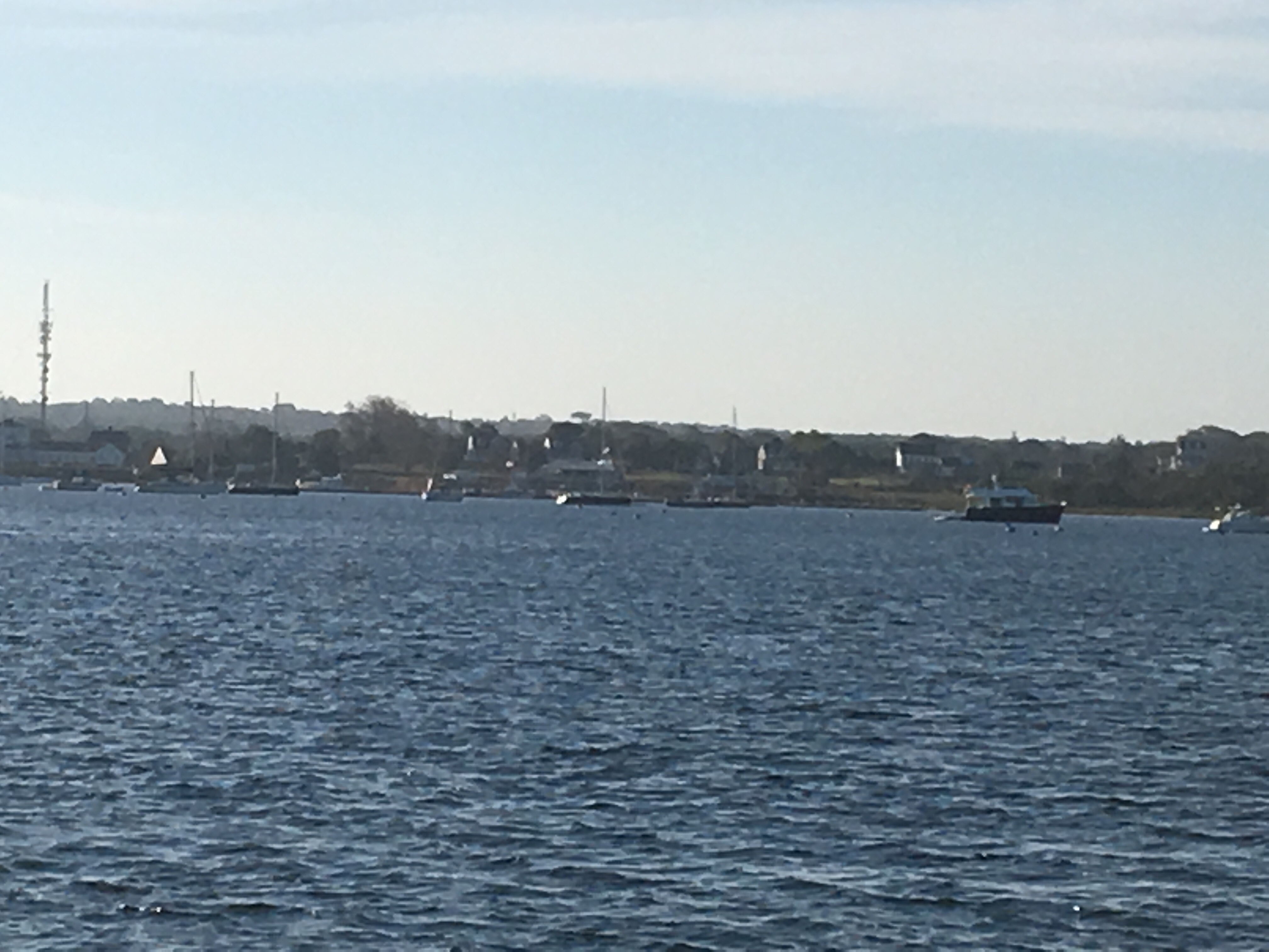
The town of New Shoreham has mooring balls at $45 a night, or you can anchor. I’m willing to pay for a mooring, but there needs to be some value add, and at Block Island, there isn’t any.

The Great Salt Pond has a horrible reputation for anchoring, the sun was close to setting, and grabbing a mooring ball is so easy. I almost bit, but didn’t. We found an empty spot just outside the channel and on the edge of the no anchor zone. Most of the anchorage is deep, around 50 feet or so. We dropped on a 35 foot section and put out 170 of chain.

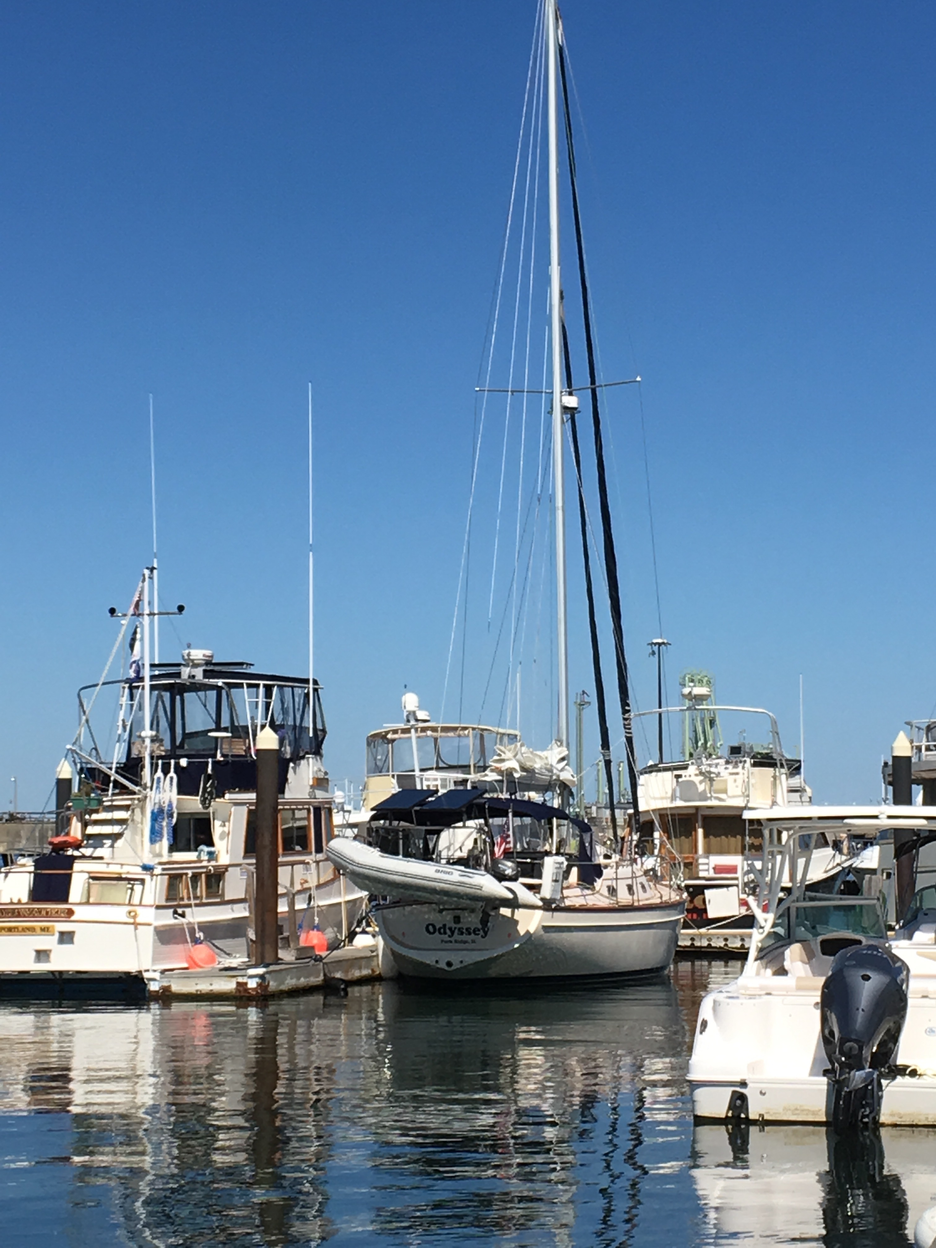
I think the bad reputation for anchoring here isn’t from the environment, it’s from the folks who are anchoring. At the marina in Portland, I was surprised at how light the ground tackle on the boats were. It tells me they don’t anchor much and mostly for lunch or an afternoon swim. Put a lot of that into a busy anchorage, add some wind, some alcohol, deep water, and I’m ready to pay $45 to skip that mess. In the off season, the anchorage is wide open.

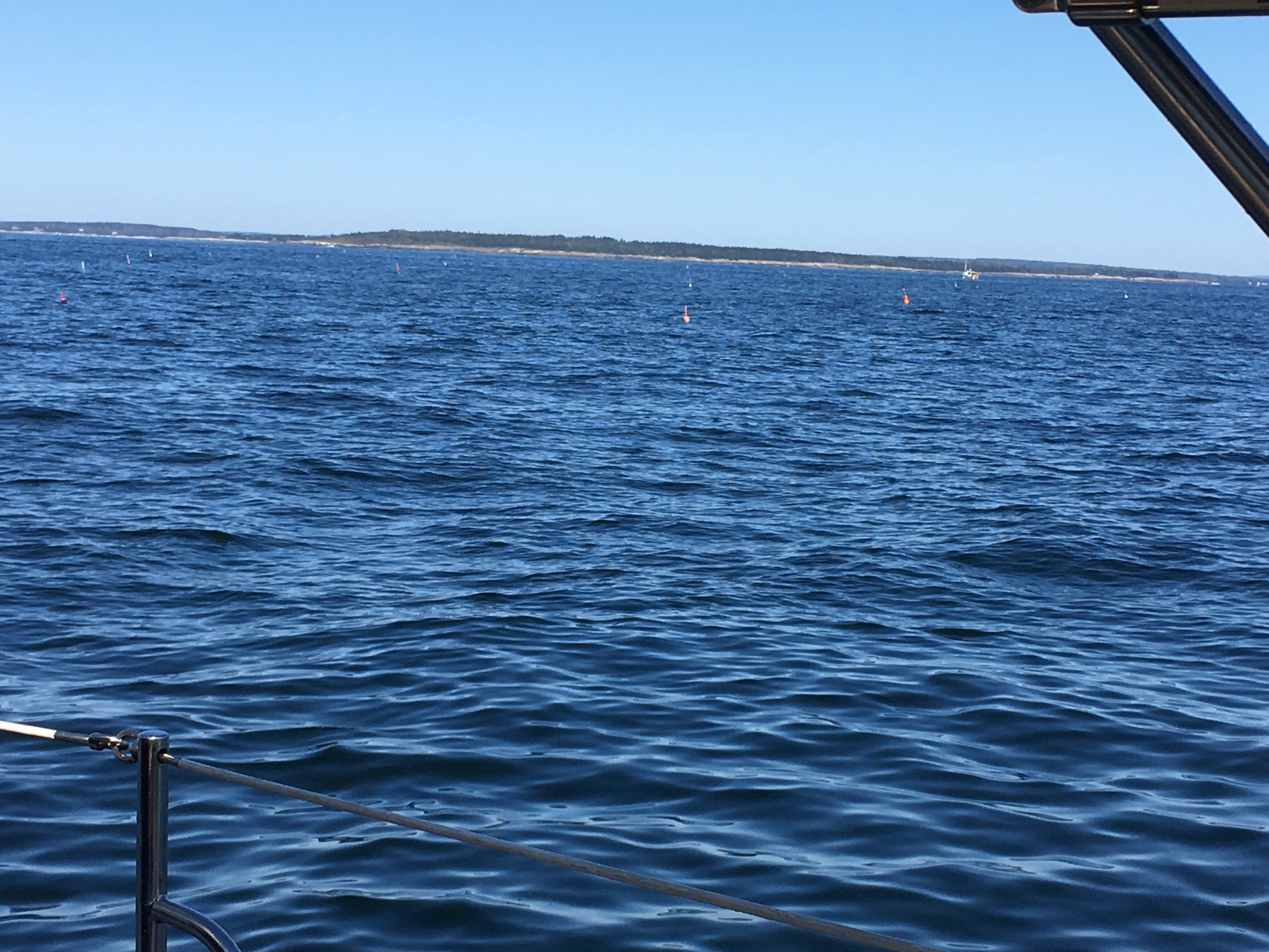
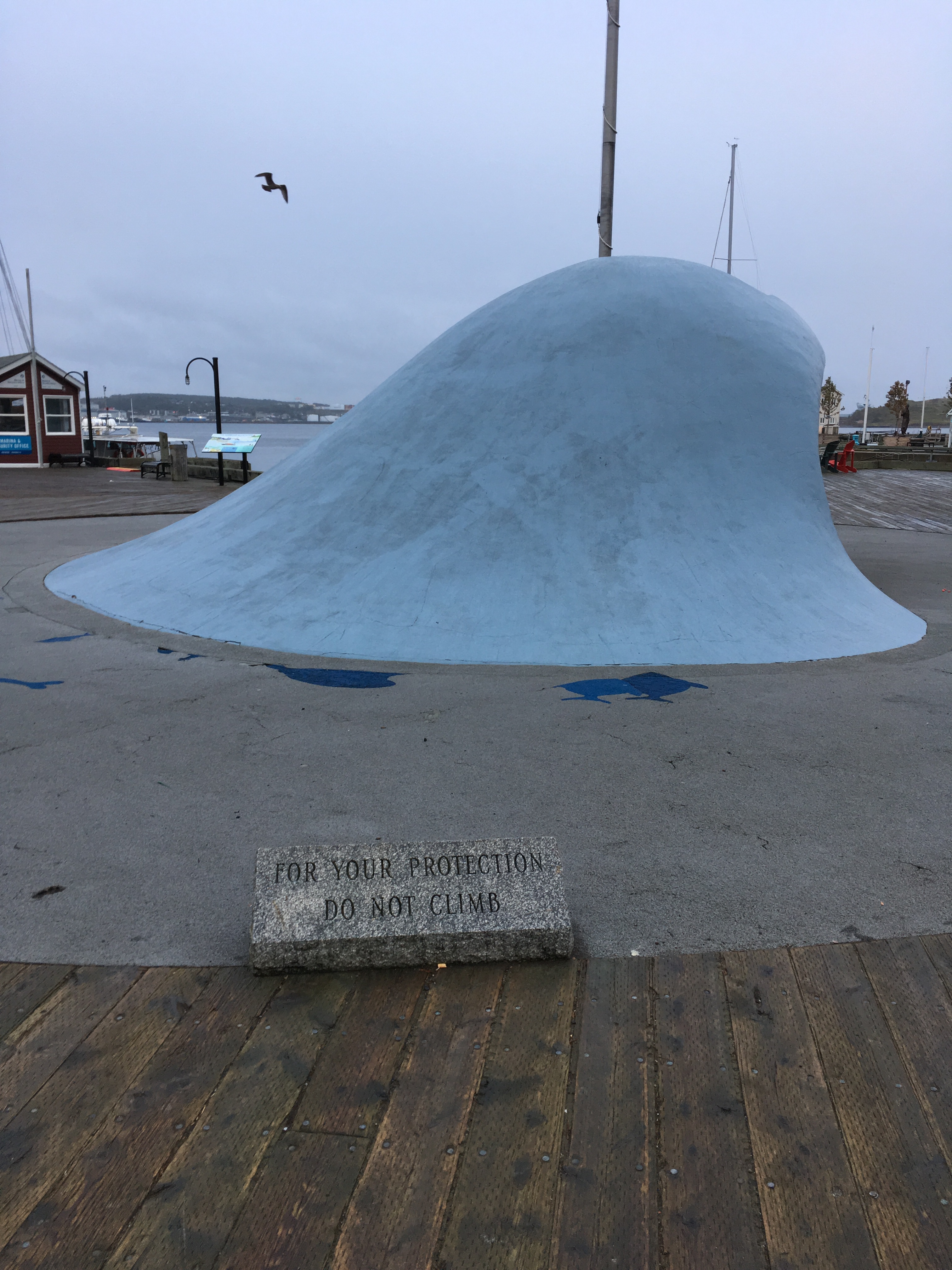
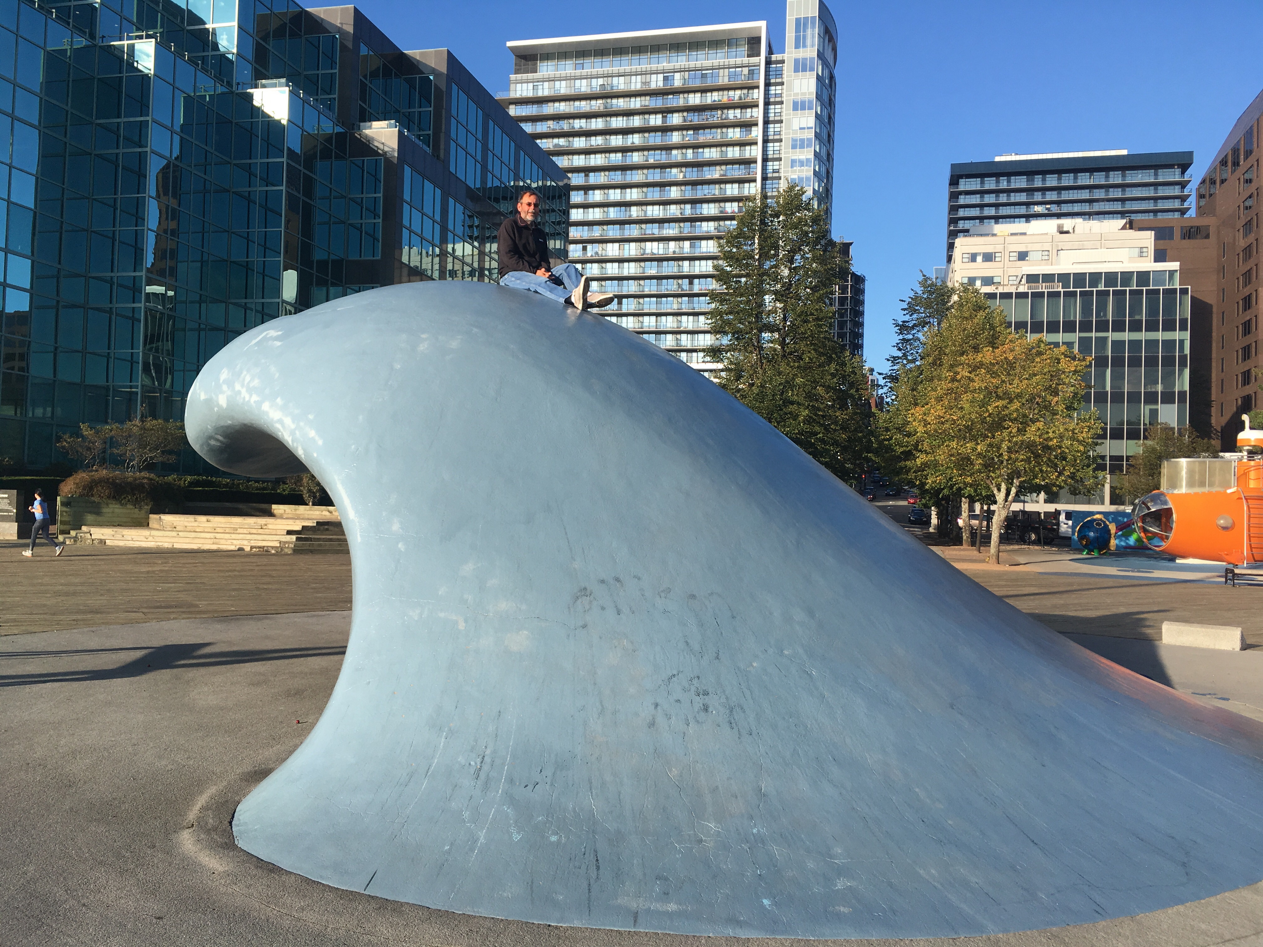
Not good pictures yet. We’re about to drop the dingy and head to shore to explore… And take picture.

Our neighbors at anchor
The mooring field and town

More Portland

Sue and I have been enjoying our time in Portland. The marina we’re staying at is first class. It’s the only marina I’ve been to that’s properly staffed. There are dockhands everywhere and very helpful.

We’re on the start of South Portland’s main bike trail. A 10 minute ride to great supermarkets, stores, and restaurants. If you happen to be in the area, give Spring Point Marina a visit.

The main reason we’ve extended our stay was to get our mainsail repaired. On the crossing from Nova Scotia, one of the slides that attaches the sail to the mast broke. A sailmaker from the local Quantum loft will be here tomorrow at 9AM to sew on a new slide. Once he’s done, we’re heading over to the fuel dock to top off the diesel and the gasoline.

Our plan is to sail through the night to the Cape Cod Canal. At 7AM the current will switch in our favor and I’m hoping to be there then but, we have 6 hours before the current turn against us.

Once we finish the canal, if we have time, we’ll try to push for Block Island. If not, we’ll anchor or pick up a mooring ball along the way. We’ve skipped so much, but we want to stop at Block Island.

From Block Island, we’re heading to Port Washington New York. They have free mooring balls for 2 nights and it’s a great place to stage for New York City. And, I want some pizza. It might not be Brooklyn, but it very pretty close.

We’re planning on sailing down the East River to the Hudson. Once we reach the Hudson, we’re going to head upstream. No, we’re not heading home yet. We’re getting a slip at the 79th street boat basin so we can meet up with friends and have dinner.

When we leave New York, our next stop will be Atlantic City. The Golden Nugget has a nice marina. We’ll get a slip and play some video poker while we do laundry.

Here are more Portland Pictures

Portland lighthouse from the water
Portland lighthouse from land
Our new neighbors. I wonder if they’ll invite me over for a sundowner?
The broken slide.

Portland Maine

We left Halifax with the intention of sailing straight to Portland Maine. The winds were going to be changing in our favor and we were going to have a nice weather window for the next 3 days.

The latest hurricane was well off shore, so we didn’t have to worry about getting hit by it, but it was the source of the winds that were predicted. When we left, the winds were out of the north northwest and predicted to shift to northeast in the early evening. It sounds like a subtle difference, but on our course it was the difference between sailing up wind vs. down wind. Sailing up wind is fun and exciting, but very rough. Whereas sailing downwind, is smooth and relaxed. Everything slows down.

Between me leaving early and the wind shift coming late, we found ourselves sailing up wind in heavy seas. I could have headed more south to put the winds behind us, but the winds were stronger to the south so I kept pinching the wind waiting for it to shift.

Sue and I were both getting seasick, so I fired up the motor and headed to shore to anchor and wait for the winds to change. If you look at the PredictWind tracking site you can see us make an abrupt change of course and head for shore.

We arrived at a nice bay in an island around midnight. I hate anchoring at night. I have to trust the GPS, the charts, and radar. I have more faith in my eyes. It was a full moon with clear sky’s so we could see enough, but I could hear waves breaking on rocks and it sounded like it was next to us. All the instruments said we were fine, but it was enough to keep me from sleeping deep.

When we woke in the morning I could see we were fine. We had plenty of room from the shore.

The winds had finally shifted and the seas laid down. I put up just the main sail, had the seas behind me and we were doing a nice 5 knots. And, it continued that way until we reached the end of Nova Scotia and had to cross the Gulf of Maine.

Once we started our crossing, the winds picked up as did the waves. Even downwind it was uncomfortable. We were both queasy and saltines were the only thing that seemed appealing to either of us. It was also very cold at nights and too rough to make coffee.

Near the end of the second day the winds and waves died down. The last sixty miles into Portland was a nice smooth motor sail. In Nova Scotia, lobster season was over so we had gotten spoiled. Not so in Maine. There are lobster pots EVERYWHERE.

When you drive down the interstate you get a sign welcoming you to the new state. In Maine, you get a minefield of lobster traps welcoming you.

The problem with the lobster traps is if you run one over the line can get caught in your prop or on you rudder. If that happens I have to go swimming to try and clear the line. Not something I can do on a cold rough night.

I managed to avoid all the pots and we made it to our marina without issue. While bringing the main sail down, I saw one of the slides that attaches the main to the mast had broken.

All my sails are made by Quantum, who is headquartered in Traverse City Michigan. Fortunately, Quantum has a loft here in Portland. I contacted them to see if they could repair my sail, and they can, but not until Monday.

I was expecting to have to take the sail off, get an Uber, and bring it to them. Not the case. They’re coming out to the boat and can make the repair while the sail is on the boat. Perfect.

The marina we’re staying at is very nice. It’s the only marina I’ve ever been to where they’re staffed appropriately. There are dockhands everywhere and anything you need they’re there to help. The showers and bathrooms are the nicest we’ve encountered on the trip so far.

Last night the marina had an end of the year party. Open bar and plenty of good food. Our timing for arrival was perfect.

We’re actually in South Portland and have to cross the river to get into Portland. No problem on the bikes. Yesterday, we made it to Walgreens, West Marine, Trader Joe, and Whole Foods. The bikes were loaded down for the ride home.

Tuesday, we’ll be heading south again. Most likely, we’ll pick up a mooring ball for a night or two.

Our change of course.
Welcome to Maine lobster pot.
Zoom in and you can see the density of lobster pots
The Portland lighthouse.
Odyssey at her dock.

More on Halifax

In downtown Halifax they have their own art piece / tourist mecca sculpture called the Wave. Similar to the Chicago Bean or Picasso. Except this one is interactive, you can try to climb up it.

There are plenty of signs not to climb on it, but everyone does. Well, it’s difficult to climb up it. I’m sure everyone who’s been to Halifax before has tried climbing it. The most popular strategy is bare feet to get extra grip. That didn’t work for me so I tried boat shoes, and that worked.

One of several warning signs not to climb the wave
The wave
The boat shoes did the trick and I was able to make it up.

Another icon of Halifax is the tugboat Theodore Too.

It’s a model based on a character in a kids show. You can read more about it here: Theodore Too. Sue was always snapping pictures when he’d motor past.

It was a Monday and we were ready to leave Halifax and move on to Portland Maine. As I was walking around I was surprised at how busy the harbor front was on a Monday morning. I was also surprised at the number of folks speaking German.

When we finally left port, it all made sense. Three large cruise ships came in Sunday evening. The Mein Schiff I, the Norwegian Dawn, and a third I couldn’t read the name of.

That evening, we saw them again on the water. One was heading to St. John, the other two were heading to Bar Harbor. If only I could make it that far in a single night…

S/V Oz

I’ve mentioned the sailing vessel Oz in several of my posts and wanted to pass along more information on them.

We met Paul, the owner of Oz, and his crew, Clay, in Summerside PEI. They arrived a few days before us and left the day after we arrived.

Due to the approaching hurricane and the lack of safe moorings along the way to ride out a hurricane, they came back to Summerside. They tied Oz to the dock behind us.

We spent the week together exploring Summerside, chatting, and prepping the boats while we waited for the storm to hit. And, we rode the storm out together.

When the storm finally hit, it was comforting knowing they were there and ready to lend a hand if needed.

We both left Summerside the same day. They were planning on doing day trips and anchor at night. We planned on pushing through and sailing at night. Because of our different plans, we wouldn’t be meeting up again.

Sue and I have been planning on holding up in Norfolk until November and the end of hurricane season. So, we exchanged our contact information and planned on catching up with Oz in Norfolk.

Clay is from the Norfolk area and that’s where he’s planning on leaving Oz. Paul would be picking up new crew and continuing his journey south.

As fate would have it, once we got to Canso and the Atlantic, weather forced us to hold up a few days, long enough for Oz to catch up with us. We had pizza and beers and said our goodbyes.

Again, we left Canso the same day. They were going to anchor at night and we were going to sail through the night. Again, we planned on see each other in Norfolk.

Well, the sailing was so good, Oz decided to sail through the night. Unlike me, they didn’t slow down and arrived in Halifax at 3AM looking for their dock.

When we arrived at 10AM, there was Clay waiting for us. A very pleasant surprise.

Now, we’re heading to Portland Maine. I’m hoping to meet up with them again, but we’ll see. We’re leaving today and sailing slow while we wait for more favorable winds on the last half of the trip. The last I heard from Oz, they’re leaving on Tuesday and sailing fast. We’ll see what happens.

Paul, the owner of Oz, is from New Zealand. He purchased her in Toronto and is taking her home to New Zealand.

When Sue and I first saw Oz, we were scratching our heads trying to figure out what flag she was flying. It’s not everyday you run into a New Zealand flag. And what an adventure he has planned.

S/V Oz on anchor in Canso NS.
Oz tied up behind us in Summerside.

Halifax

We left Canso for an overnight sail to Halifax. I could have gone east around Andrew Island, but decided we’d take the shorter and more scenic Andrew pass to the Ocean. I’m glad I did.

It was a narrow but well marked channel. Sue spent most of her time trying to get pictures of the seals that were playing along the islands. But, they’re very difficult to photograph. I given up on trying to get pictures of the wildlife.

Once we cleared Andrews pass, I set sail towards Halifax. Everything was perfect… too perfect. We were going too fast and the computer showed our ETA to be 3AM. I do my calculations based on a speed of 6 knots. Between the currents and perfect sailing conditions, we were going 8 knots. I actually reduced sails so we wouldn’t arrive too early.

Once we got to town, we met up with our friends on Oz. They didn’t reduce sail and they got to Halifax at 3AM. They were staying at a different and it was easier for them to come in at night.

We chose to stay smack dab in the middle of downtown Halifax. We’re tied up to the Maritime Museums dock. At times I feel like we’re also part of the exhibit. At lot of local sailors came by to chat. I’m starting to think I’m the only one who hasn’t sailed the Caribbean. My favorite advice I got was to leave the boat in Florida. Fly down in November, sail, then bring the boat back to Florida in May, haul it out, and fly home.

I needed boat parts so as soon as we docked, we got the bikes out headed to the Binnacle. The Canadian version of West Marine. It was a 3 mile ride, but took much longer than I had planned. Halifax is a beautiful city, but it’s not bike friendly. We got spoiled by Montreal, Quebec City, and all the little towns we’ve been in along the way. But we made it and I was able to get the parts I needed. Next time, I’m taking Uber.

Today, we meeting up with the Oz crew and we’re going to explore the city some more.

The docks in Halifax
The Navy’s in town too.
Tied up at the museum dock
We’re next to the wave.
The wave with Odyssey in the background
Remember, no climbing on the wave. During the day there are kids climbing on it. A challenge to make it to the top
Get your Beaver tail.
Sue is happy. Mac and Cheese fest is going on.

Change of plans

When we got up this morning the winds were howling out of the north. The marina is tight and it was a falling tide. I wasn’t comfortable leaving in those conditions.

We waited for a break in the winds, which came about the time our friends on Oz pulled up in there dingy. Sue and I decided we’d rather go out for dinner and catch up with Paul and Clay than face a cold windy Atlantic. Pizza, beer, and friends always wins out. Oz, Paul, and Clay need their own post, and I’ll get to that soon.

We’re falling behind schedule. It’s mid September and we’re still in Canada. To make up time, we decided to sail from western Nova Scotia to Portland Maine. Unfortunately, that means we’ll be missing most of Maine. There’s too much ground to cover in the short season, so we had to sacrifice somewhere. Believe me, if it was possible to skip New York and New Jersey, I would have kept Maine, but it’s not possible.

Today was spent shopping and lounging. The liquor store was a mile or so out of town and I didn’t want to mess with the bikes for just one day, so we walked it. The local grocery store sold everything. Mostly groceries, but if you needed lines, nets, nuts/bolts, bearings for you trailer, they had it. But they didn’t have cilantro, so Sue’s favorite salad dressing will have to wait.

As we walked around, I kept seeing signs in everyone’s yard that they’re against the spaceport. I asked a local about it and sure enough, a company want to build a spaceport in Canso and start launching satellites. I thought I was living the Onion, but it’s true. Google “Canso Spaceport” sometime.

Here are some more pictures of town

Do you see the ghost upstairs?
One of several churches in town
The lounge at the marina. WiFi doesn’t reach to the docks so I hung out there during the rain to get internet.

Canso NS

We left the anchorage this morning and headed towards the ocean. There was no way we were going out. The winds were coming out of the south west at 20 to 25. Since that’s the direction we needed to go, sailing was out of the question. We didn’t want to burn all our diesel beating into that mess, so we decided to get a slip. As is was, just crossing Chedabucto Bay was tougher than either of us wanted.

At the entrance to the ocean is a small town called Canso. We stopped for the night at the local marina / RV park. It’s a tight squeeze in here, especially at low tide. But, we made it, were tide up, the heats on, and we’re waiting for the rain to stop before he head out to explore.

Tomorrow, the winds will be in our favor and we’ll be ready to hit the ocean. We’re planning on doing an overnight to Halifax. I’ve already picked out serval anchorages if we need to bail out.

Odyssey tucked behind a lobster boat in the marina
The ocean from Canso
The town Canso
A short video of our sail across the bay today. It was tougher than the video shows.

Back to sea again

Monday morning we did one last load of laundry, grocery run, and stowed all our lines and fenders from the hurricane. We topped off our diesel, paid our bills and said our goodbyes. And, we were interviewed by the local newspaper reporter.

So far, Summerside has been the hardest to leave. It’s a great town with great people. We meet a lot of new friends and I can’t wait to go back. But leave we must. It’s getting colder at nights we we need to keep pushing south.

Once we left Summerside we passed under the Confederation Bridge. A monster bridge that links Prince Edward Island to Nova Scotia.

The span that we crossed under had 2 large expansion joints, but they looked like giant cracks. It was strange enough that we were ready to go through a different span. We didn’t want it falling on us.

Is that a crack?

After the bridge, we sailed through the night and reached the Canso Canal, which contained our last lock until we come home in the Erie Canal.

The Canso Canal allows us to cut across central Nova Scotia. Without it, we’d have to sail around Cape Brenton Island, which I’ve been told can be a rough go.

The lock also had a swing bridge, and the only road connecting to two Nova Scotias. I felt bad about creating such a large traffic backup so that I can go through.

The Canso lock swing bridge
The traffic jam. It was just as long on the other side.

Once we got past the canal, I started calling marinas. No answers from any of them. We suspect the power is out. The lock master told us they just got power earlier today and most folks still don’t have power.

We decided to find a nice quiet anchorage for the night. For those who have gone fishing with me, I pulled into a bay that looks just like Iowa Bay. The entrance might be as tricky too.

There is a big blow out of the south east scheduled for Wednesday afternoon until Thursday afternoon. We’re going to skip traveling those days. I’ll try and get a marina tomorrow.

The hurricane is over

The hurricane has past, we’re safe, and their was no damage to the boat.

The winds picked up significantly around 10PM. I was reading steady winds in the 40+ knot (46mph) range gusting well into the 50+knot (58mph) range.

The winds were strong enough that it was difficult to walk outside. Walking the docks to adjust lines and help others was real chore. Glasses instantly were covered in rain. Take them off and you couldn’t keep your eyes open because of the driving rain. The locals all had goggles. And, it was cold. I’m not sure what the wind chill was, but it was in the low 50s, upper 40s over night.

Around 12:30 we lost electricity, which meant we lost heat in the boat, and the temperature outside was in the 40s. That reduced the number of inspection trips I made.

At 2AM the winds started to settle enough for me to get some sleep.

The biggest issue we had was storm surge. At low tide, we sit low and have a nice concrete wall blocking the wind. 12:30AM was low tide, yet we were at the highest water level I’d seen our entire week we have been here. Actually, it was significantly higher. We were at the maximum level for the floating docks. And, we had no wind protection from the wall, we’d planned on. Had it been high tide instead of low tide, the docks might have gone under water.

If I had to do it all over again, I would have turned the boat around so the bow would have been into the wind. The cockpit would have stayed dry and the dingy would have taken less wind. Lessons learned I guess.

Power is still out. I’ve fired up my generator and turned the heat on. We’re not sure when the power will be back on, hopefully it will be sometime today.

Water levels are back to normal. Here is the wall we were hoping to get protection from. During the height of the storm, water was near the top

The only damage we took was our courtesy flag got caught up in the radar mount.

The Honda Generator sitting in the cockpit running the heater.

And so it begins

Today is when the hurricane hits us. The first rain band has reached us and the winds are picking up. The latest forecast has the eye passing just east of us. It’s still a category 1 storm, but where we’re at they’re only predicting tropical storm winds.

I’ve prepared the boat the best I can. I’ve deployed all fenders and have tried to create a spider web with the dock lines.

The members of the Summerside Yacht Club have been very helpful with great advice, and much needed reassurances. The club is so well protected the Coast Guard moved their boat to the clubs fuel dock to ride out the storm. I was joking around with the Coasties that they’ll only have to walk 25 meters to rescue me. The club members and the Coast Guard both told us if we needed anything, just ask.

The worst of the storm is scheduled to hit in the middle of the night. We got lucky that it’s going to be at low tide since I’ll be getting more wind protection from the wall the lower I am.

Sue and I will be spending the rest of the afternoon watching movies and napping. I’ll send an update in the morning.

Oh, I was also reassured the bar will be open during the storm. Like I said, this is a first class club and facility.

Odyssey tied up at the dock with all fenders deployed

More dock lines on the starboard side

The Coast Guard tied up for the storm.

The club had a welder come out to shore up the docks.

Hurricane update

I’m sure you’re all aware of Hurricane Dorian. At this time, it’s projected path is to follow the coast north and hit Nova Scotia on Saturday.

It’s projected to be less than a category 1, but 60 mph winds none the less. After talking to numerous locals and other cruisers, we decided the Summerside Yacht Club is going to be our best option.

I talked to the office and extended our stay until after the hurricane.

So, what does one do while they wait to get hit by a hurricane? You go on a nice long bike ride.

The 435 KM Confederation Bike Trail cuts through town and we took it to the town of Kensington to eat at a fish and chip shop that had high ratings. After biking 15km on our little boat bikes we discover it’s a seasonal restaurant, and the season is over. The trees are starting to turn already. Fortunately for Sue, the ice cream shop was still open.

More to come…

Prince Edward Island

Sue and I finished our 400 mile trip from Rimouski QC to Summerside Prince Edward Island. The trip was perfect until the final day.

I knew there was going to be a good blow coming the last day. It was predicted to be 25-30 knots of wind on the beam. It was going to be coming from shore, so there wasn’t going to be much fetch (room for waves to build). It should have been a routine trip.

Everything happened as predicted. Except, I didn’t take into account the tidal currents. When wind blows against current large and very tight waves form, and that’s what happened to us. It was very uncomfortable for both of us.

We were taking waves over the bow and also getting spray in the cockpit. This went on for several hours until the tide switch and the currents were going with the winds.

I was tired and needed a nap. The waves settled down to become more manageable. I felt terrible about turning the boat over to Sue in a 30 knot blow, but she managed it perfectly.

Earlier that morning I was pretty hungry. The blow hadn’t started yet, so it was pretty calm. I made a fried egg sandwich for Sue and I decided I was going to fry up a can of corn beef hash and have an egg with it.

It was good, and I enjoyed every bit of it, but it was too greasy and I started to experience the dreaded ‘mal de mer’, better know as seasickness.

Sue ended up taking over the boat for a couple of hours while I tried all the remedies I suggest to others. Laying down as flat as possible and sleeping did the trick for me.

Anyway, we’re in PEI now and yes, I had a pound of mussels and seafood chowder for dinner last night.

Today was spent doing laundry and going on a food run. There is a supermarket 2 miles away, so we hauled out the bikes and were shocked to see it, and the Super Walmart next door were both closed. Evidently, it’s Labor Day in Canada too, and they take it more seriously than the US.

I also gave the boat a good wash to get all the salt off. What a mess saltwater makes.

I also hooked up our macerator pump. They’re illegal on the Great Lakes but a necessity on the ocean. No marinas have pump outs around here.

We’re hitting the stores in the AM then it off to Halifax.

Here are some pictures I took along the trip from Rimouski.

The cliffs near Gaspe

An island in a bird sanctuary

Another island in the bird sanctuary

The Summerside Yacht Club

Odyssey tied up to the wall

No bike rack, so we keep our bikes on the bow.

The bay

It’s all south from here

Earlier today, we reached our maximum northing on our trip. 49 degrees, 16.350 minutes. We’re finally working our way south along the Gaspesie peninsula.

I was temped to head a little further north, maybe visit Sept-Iles on the North side, so I can say I sailed the 50s. But, I decided if I’m going to sail the 50’s I’m going to do it properly. The next time I’m on Terschelling Island in the Netherlands, I’m going to rent a Hobbie Cat and bring along plenty of fruity umbrella drinks.

Today we ran into more whales. These were much larger and black. The water spouts from their breathing appeared to be 20 or 30 feet high. Not sure what kind of whale they were, but they made our boat feel a little smaller.

Tonight is a new moon, so I was expecting lots of stars. Instead, we’re being treated to a beautiful aurora show. It’s green with some red highlights.

The wind is finally cooperating. Perfect downwind sailing conditions. We’re doing 6 knots with just the Yankee out. We do need to get out of the area soon. There are gale warnings for Saturday afternoon into evening. The winds will be out of the west and I should have rounded the Gaspesie peninsula by then and running South along the New Brunswick coast.

New Brunswick has plenty of protected coves I can take shelter in if needed. Unfortunately, from what I’ve been reading in several cruising guides, they’re filled with salmon farms.

Here are some pictures of the beautiful coast I took earlier.

I’m already planning a road trip along route 132. It’s gorgeous around here and I’d like to see more of it.

Compass variance

I’m sure most are aware there are two North Poles: The True North Pole, the one based on the spin of the earth, 90 degrees North. This is the top of the globe.

The other is the Magnetic North Pole. This one is based on the Earths magnetic field and is the North Pole all compasses use. And, it moves. It’s currently projected to be at 86 26′ N by 175 20′ E. Projected, because to know for sure they have to send some poor SOB out there with a compass to see if it points straight down to the ground. Not somewhere I want to go. It does appear about every 10 years someone draws the short straw and goes to hunt it down.

When navigating, you specify your heading as True (T) Magnetic (M), or relative (R). Electronics allow you change your preference on the fly. They do the calculations for you and are aware the the variations for your location. Compasses only show magnetic. All paper charts (maps are land, charts are water) has a compass rose and shows the variance in the region.

This is covered over and over again in every sailing and navigation course / seminar I’ve attended. Then, I ignore it all.

Even though the poles are way off, there is a line where they match up and the variance is zero. As luck has it, that line pretty much runs through Central Illinois. Chicago has less than a 1 degree variance. Insignificant and irrelevant for my purposes.

Not so where I’m at now. Last night in the dark and fog, I was using my instruments more than normal and nothing was adding up. My course showed 100, yet my longitude kept increasing, when it should have been decreasing. I scratched my head and remembered variance. I looked it up and where I’m at there is over a 20 degree variance.

Sorry for the tech-no-babble, but I thought some might find it interesting. No pictures today, just fog and cold.