Dismal Swamp

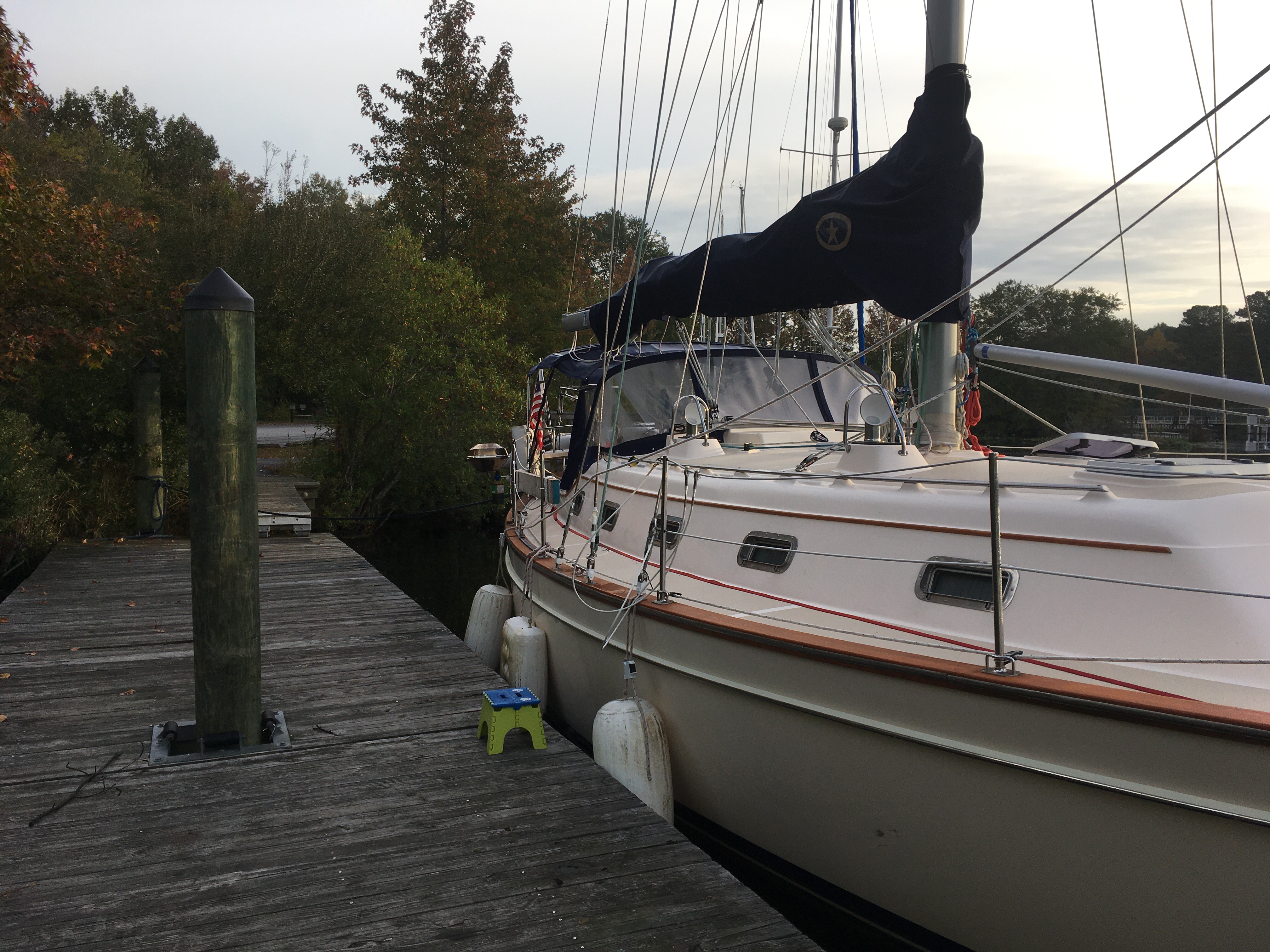
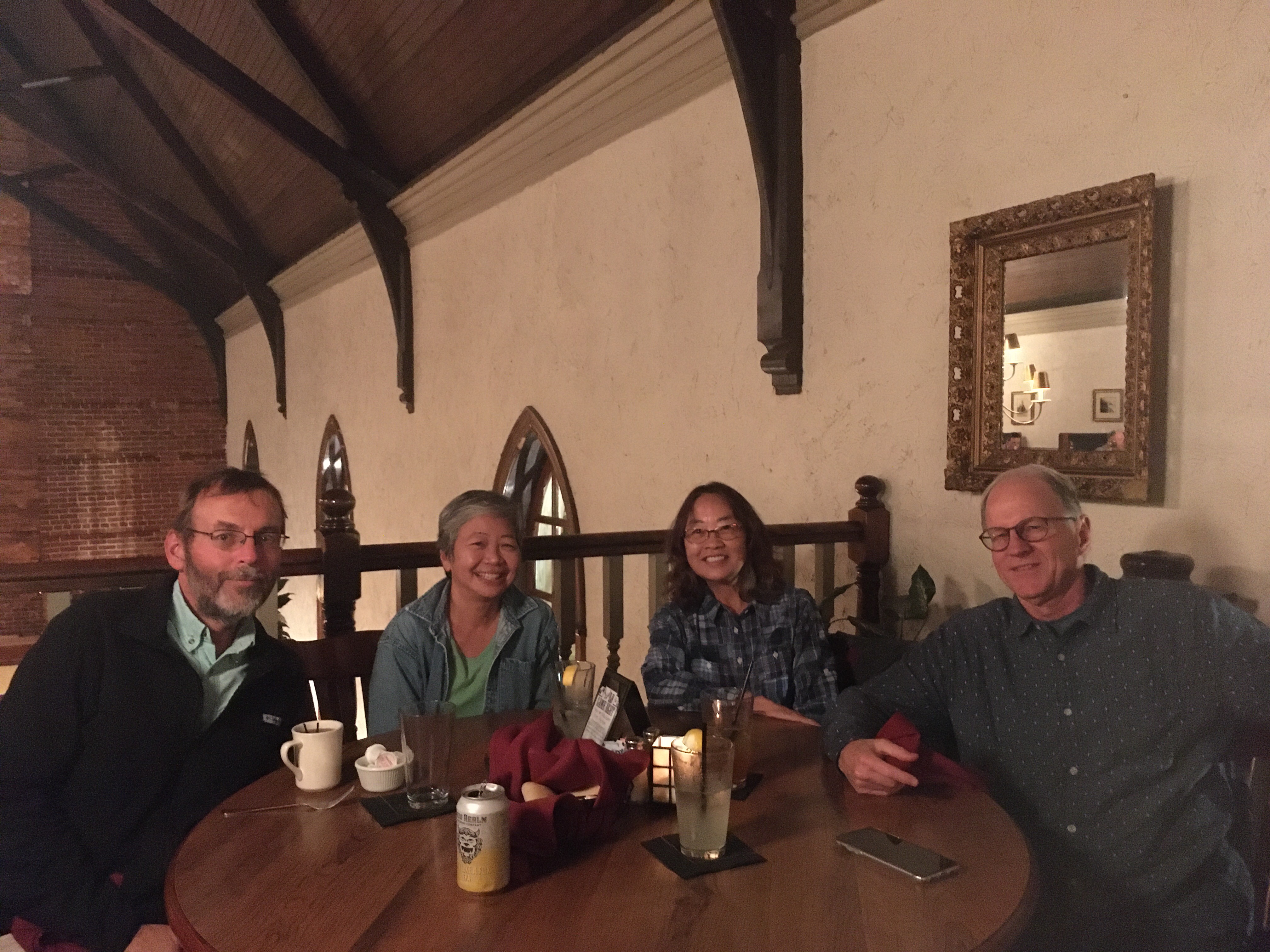
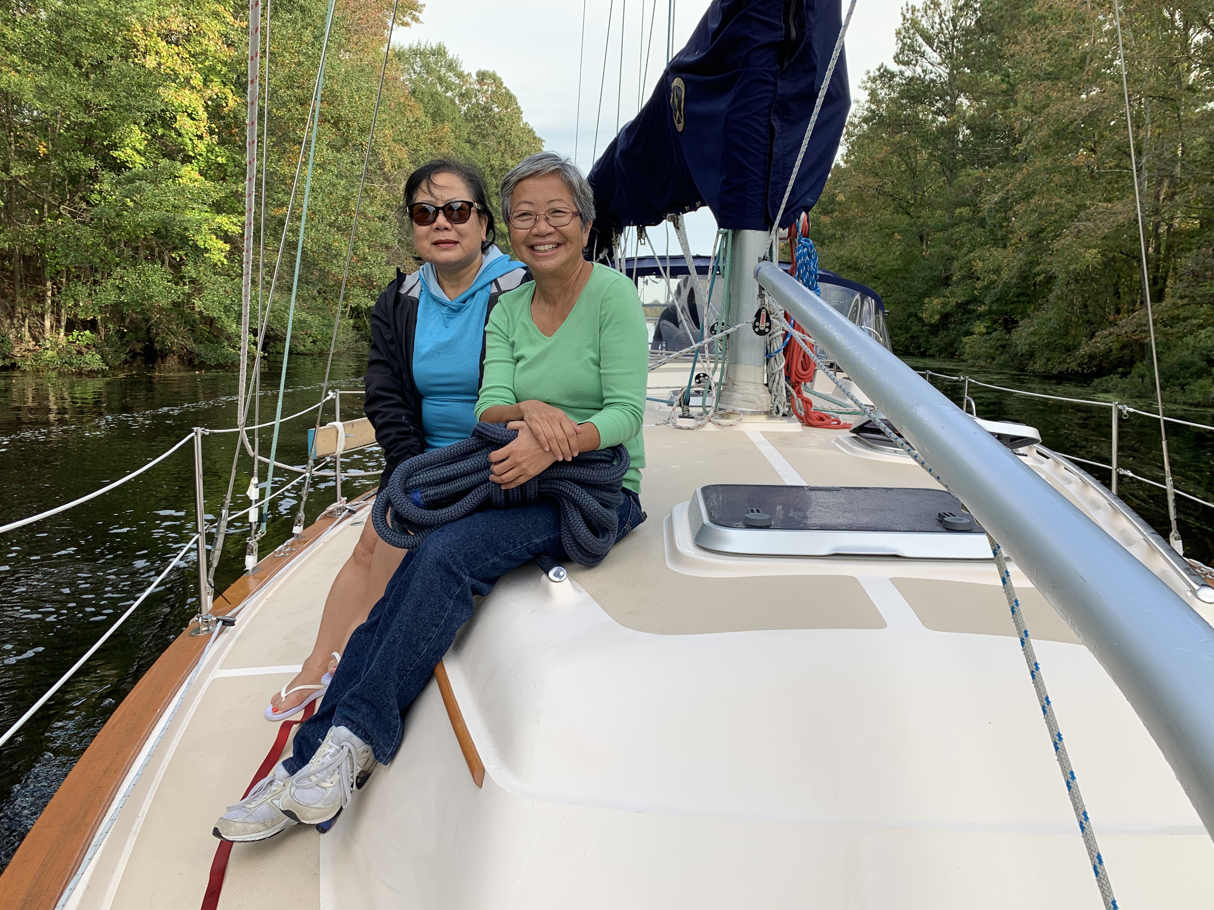
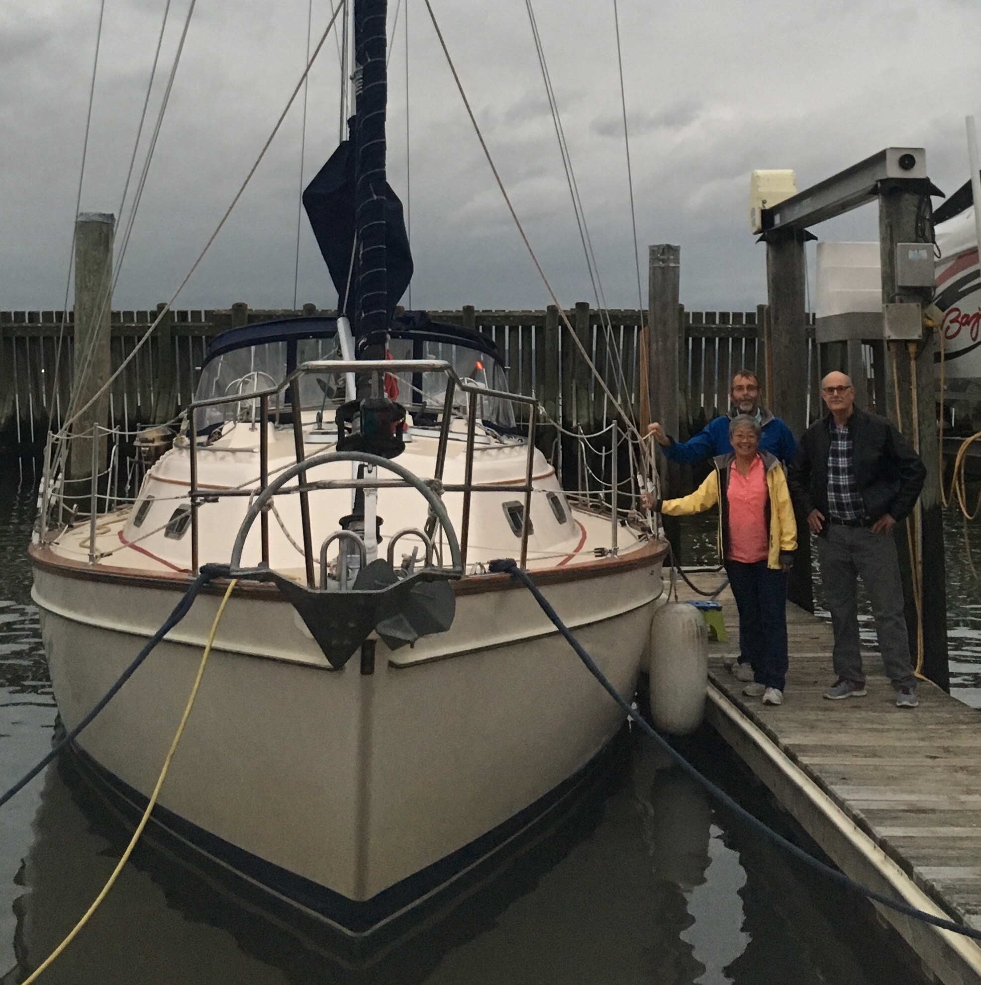
Sue’s friends, Kim-lien and James were visiting in Norfolk and wanted a little first-hand experience of the cruising life style, so they joined us for the two day trip to Elizabeth City.  Once there, they’d catch a Greyhound back to Norfolk. 

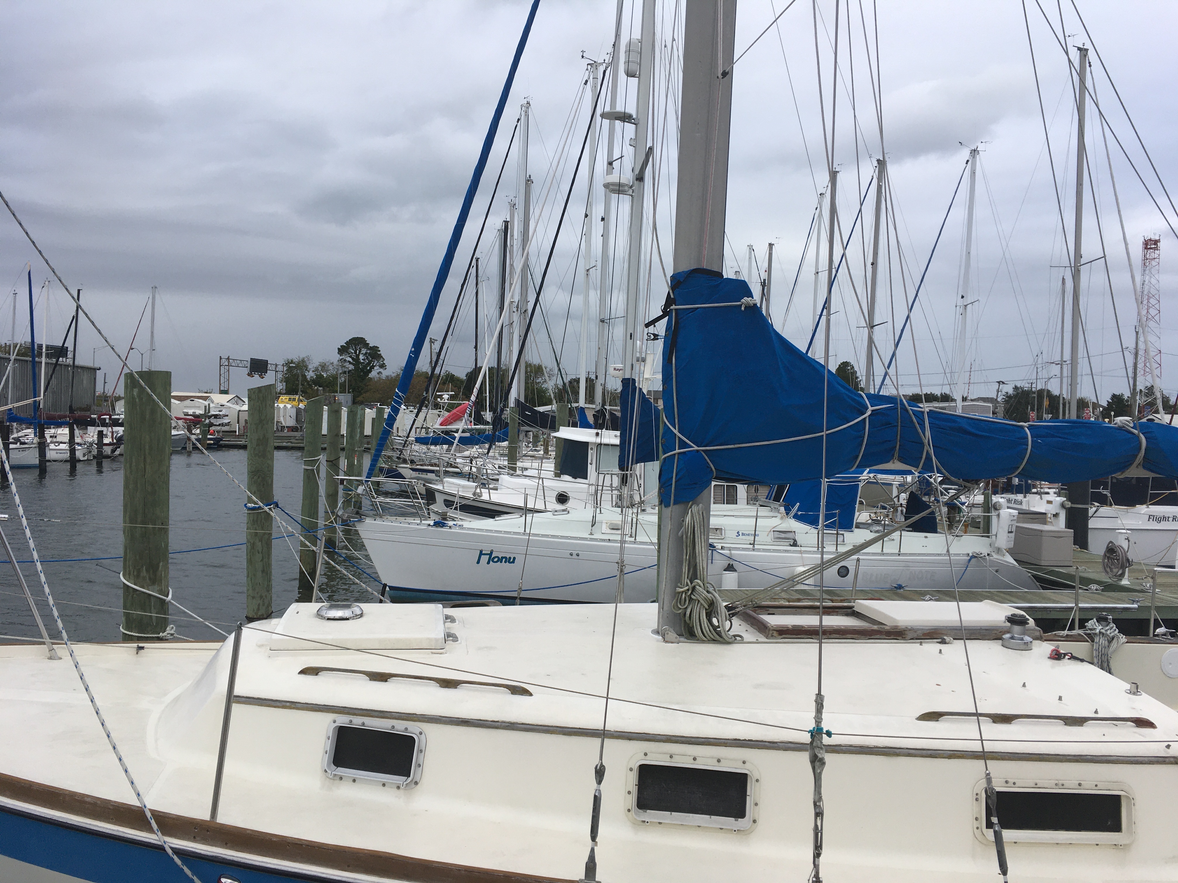
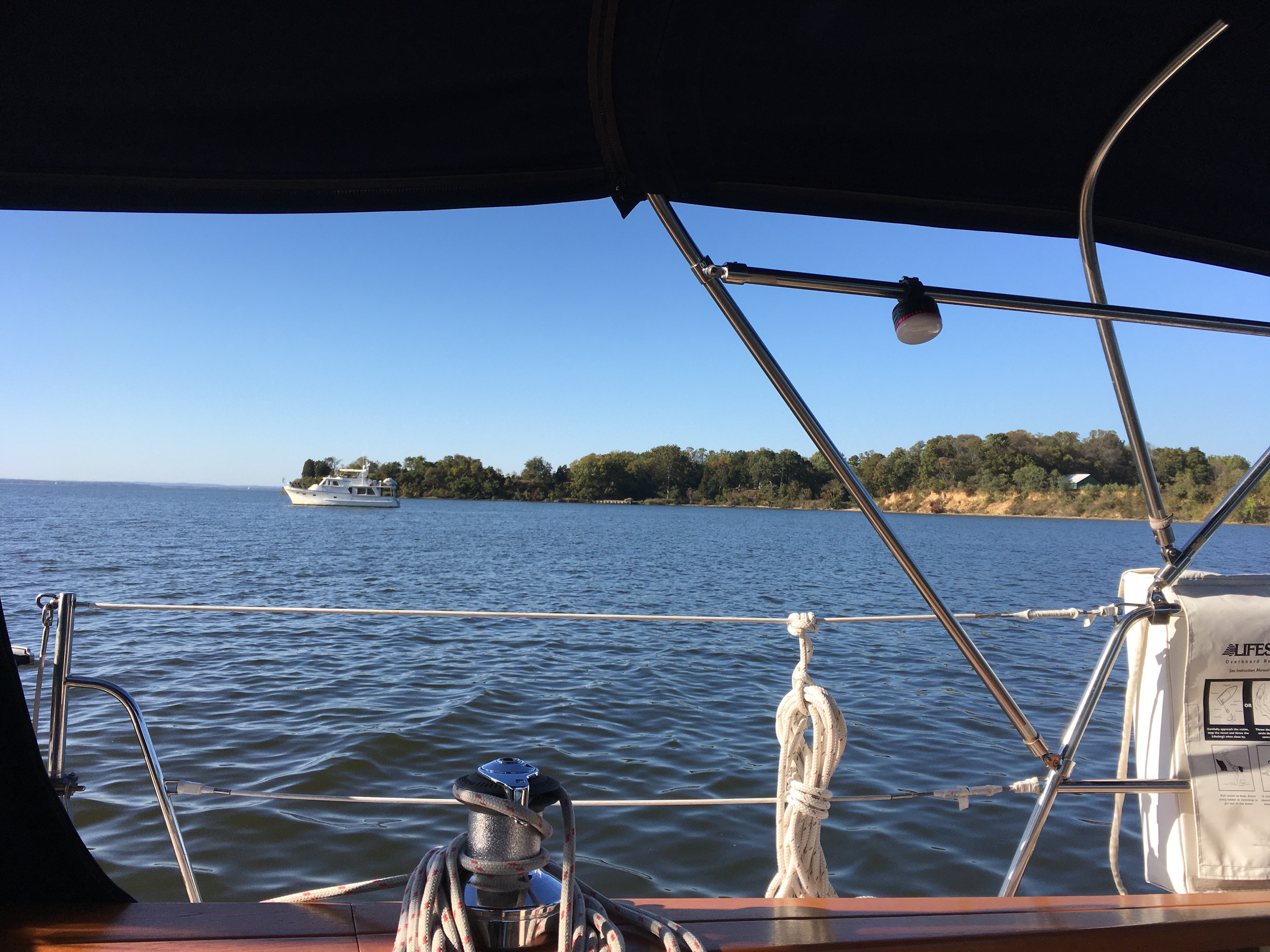
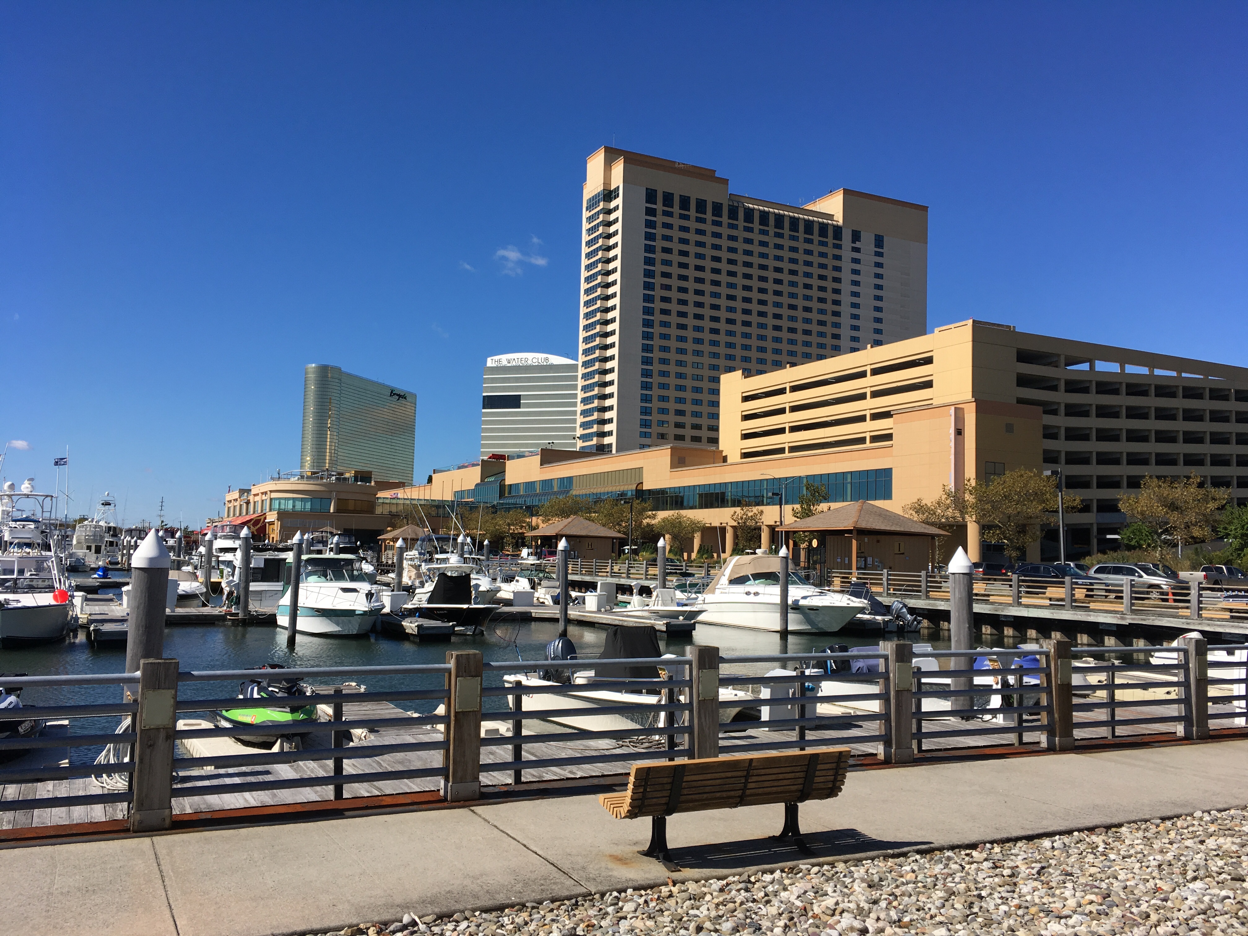
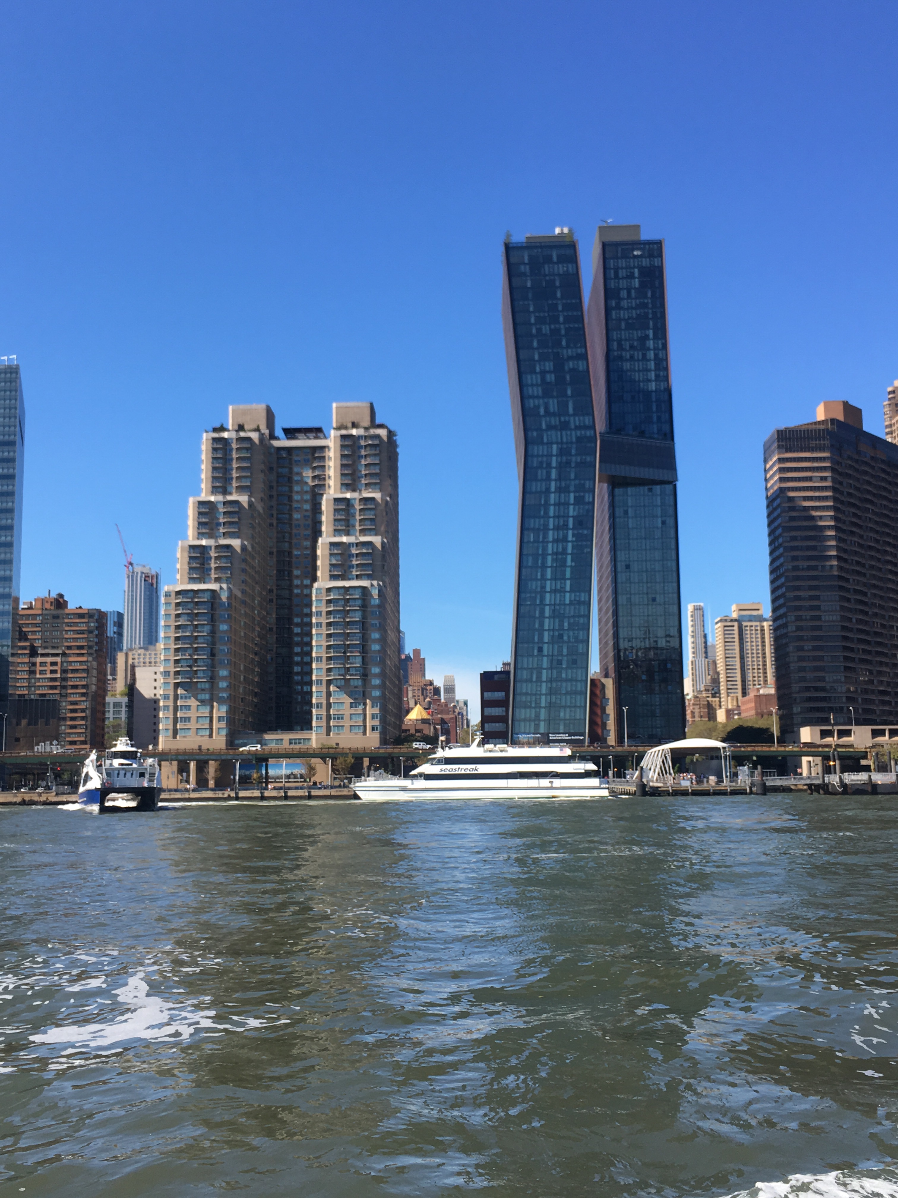
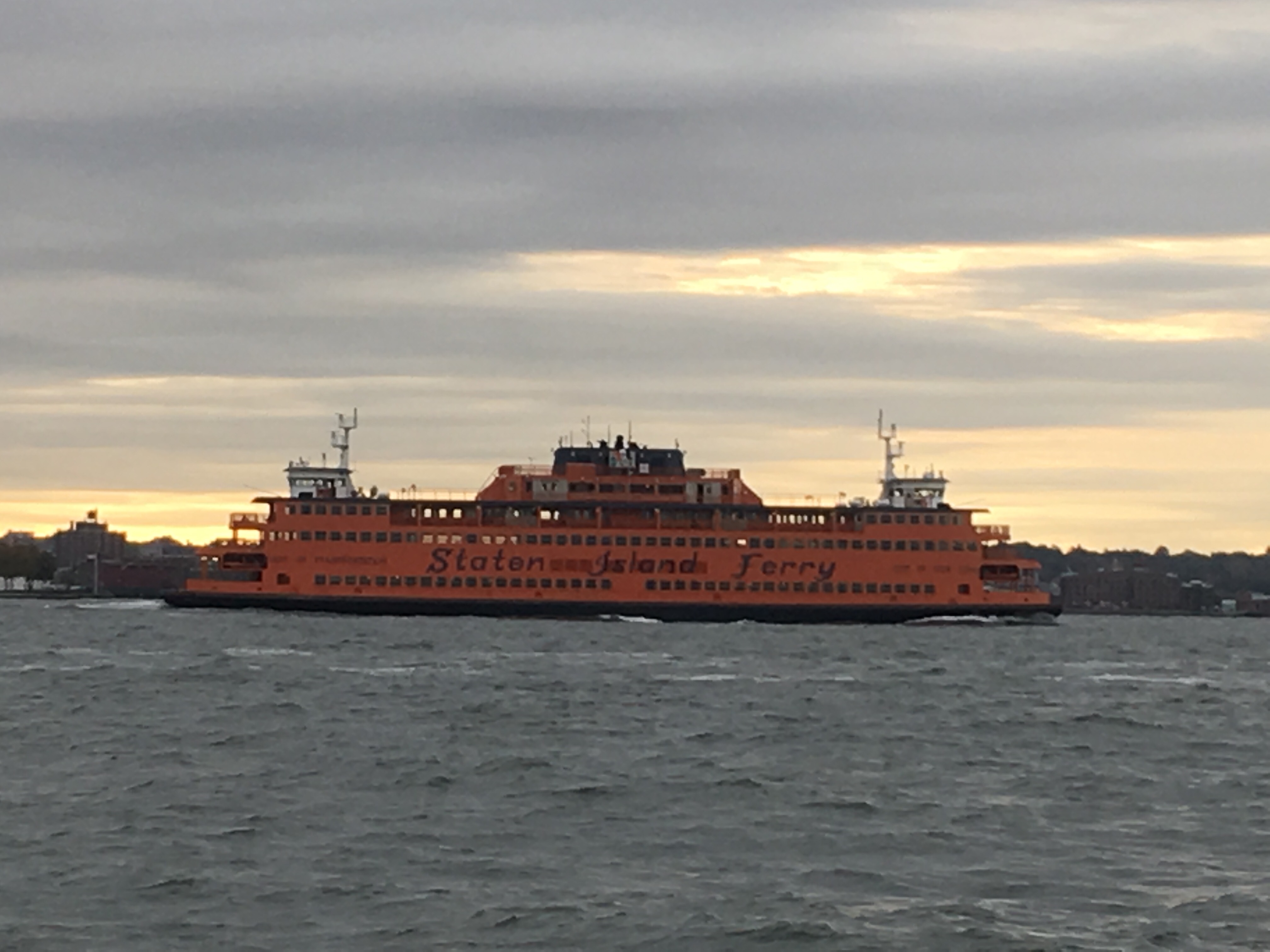
We left Norfolk Tuesday morning, heading down the ICW instead of going off shore.  The first day was spent going down the Elizabeth River, one of the busiest waterways we’ve had to travel. AIS was a great help and the constant chatter of captains on the VHS radio let everyone know where ships were planning to go as they weaved in and out the main channels.

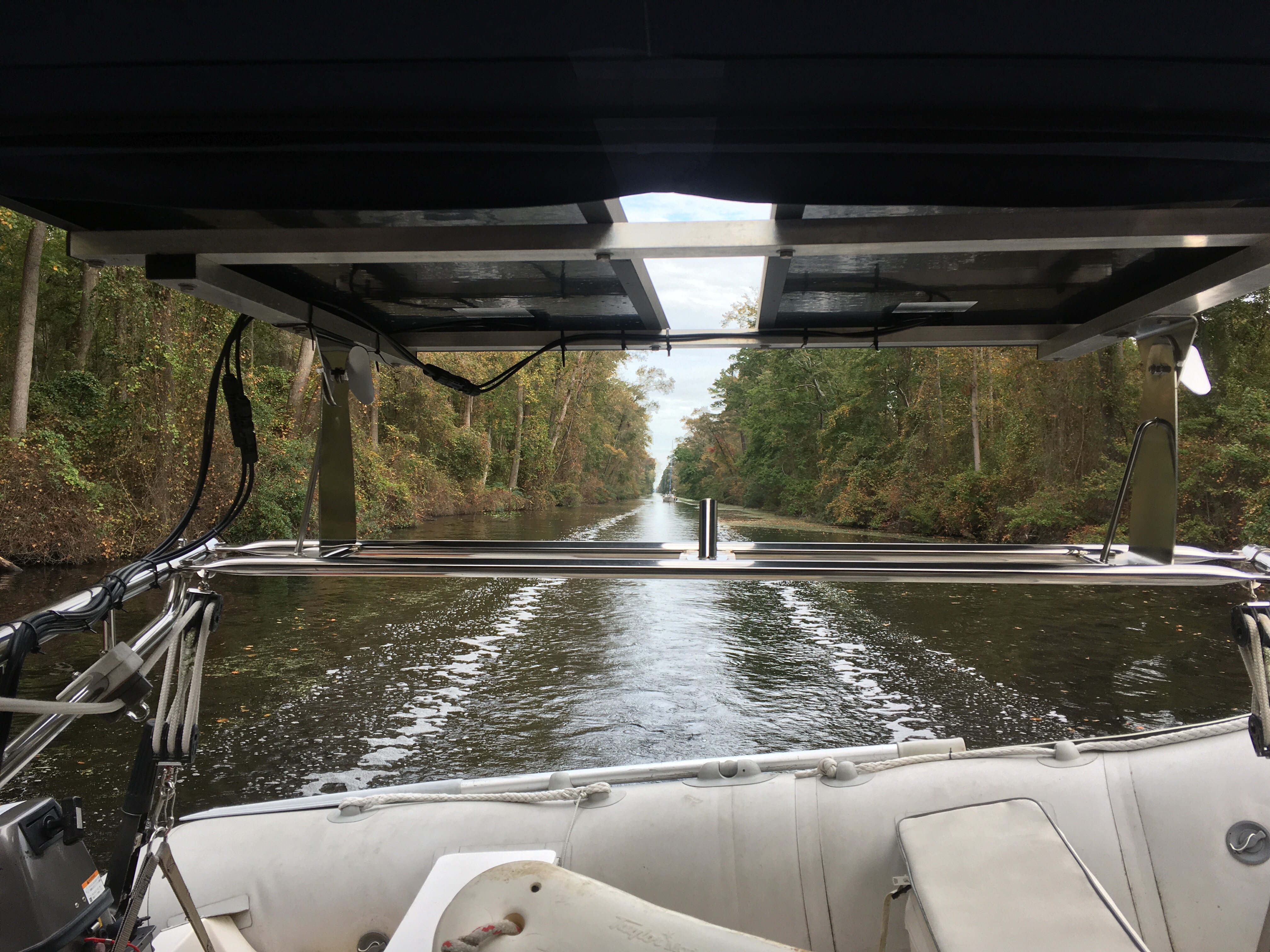
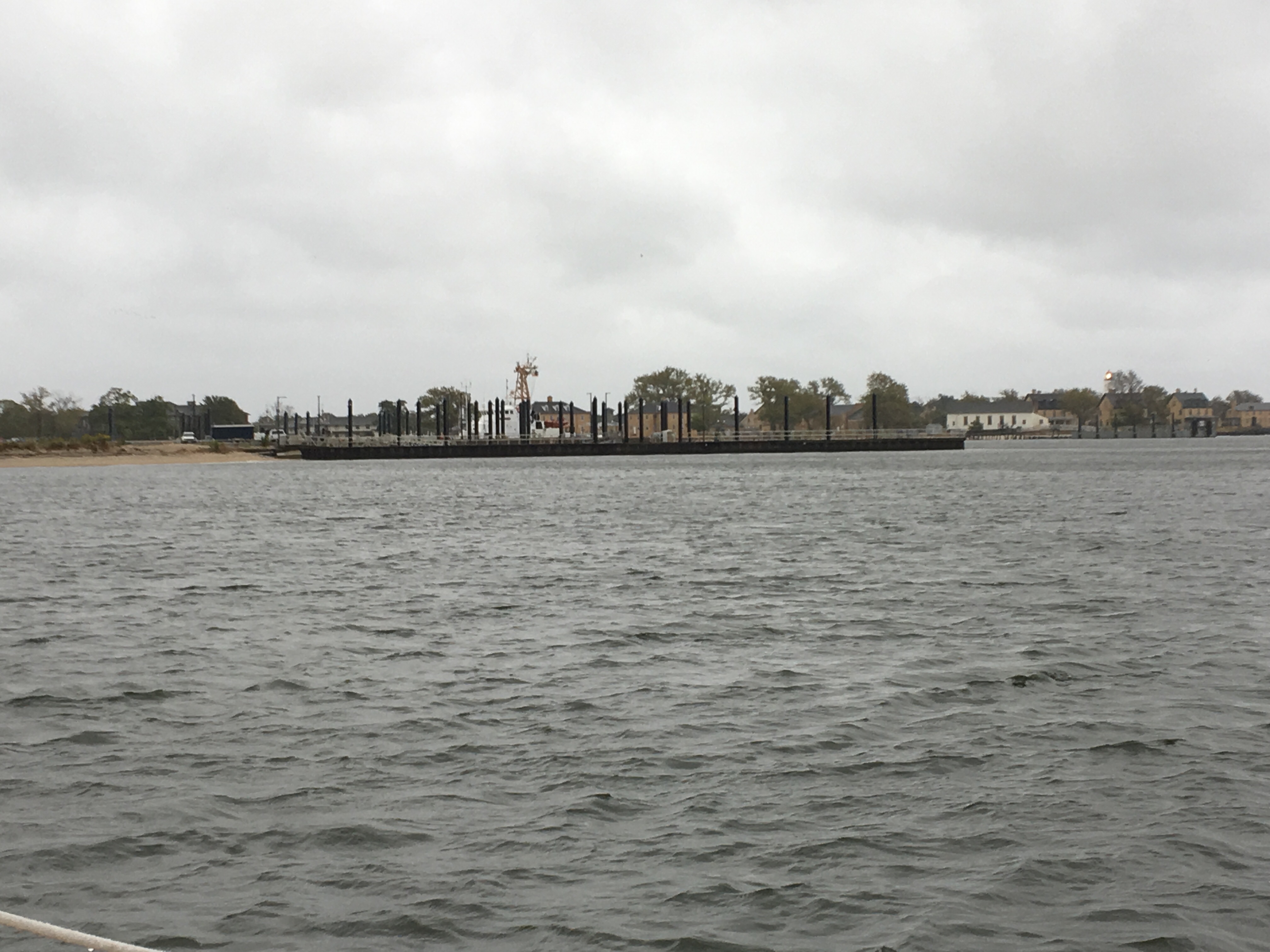
About 10 miles south of Norfolk, the ICW splits into two routes that join again in the Albemarle Sound. After weighing the pros and cons we decided to take the route through the Great Dismal Swamp.  The swamp has a 20 mile long canal for boats to cut through. To help keep the water levels at a minimum of 6 feet, there are locks on each end of the canal.

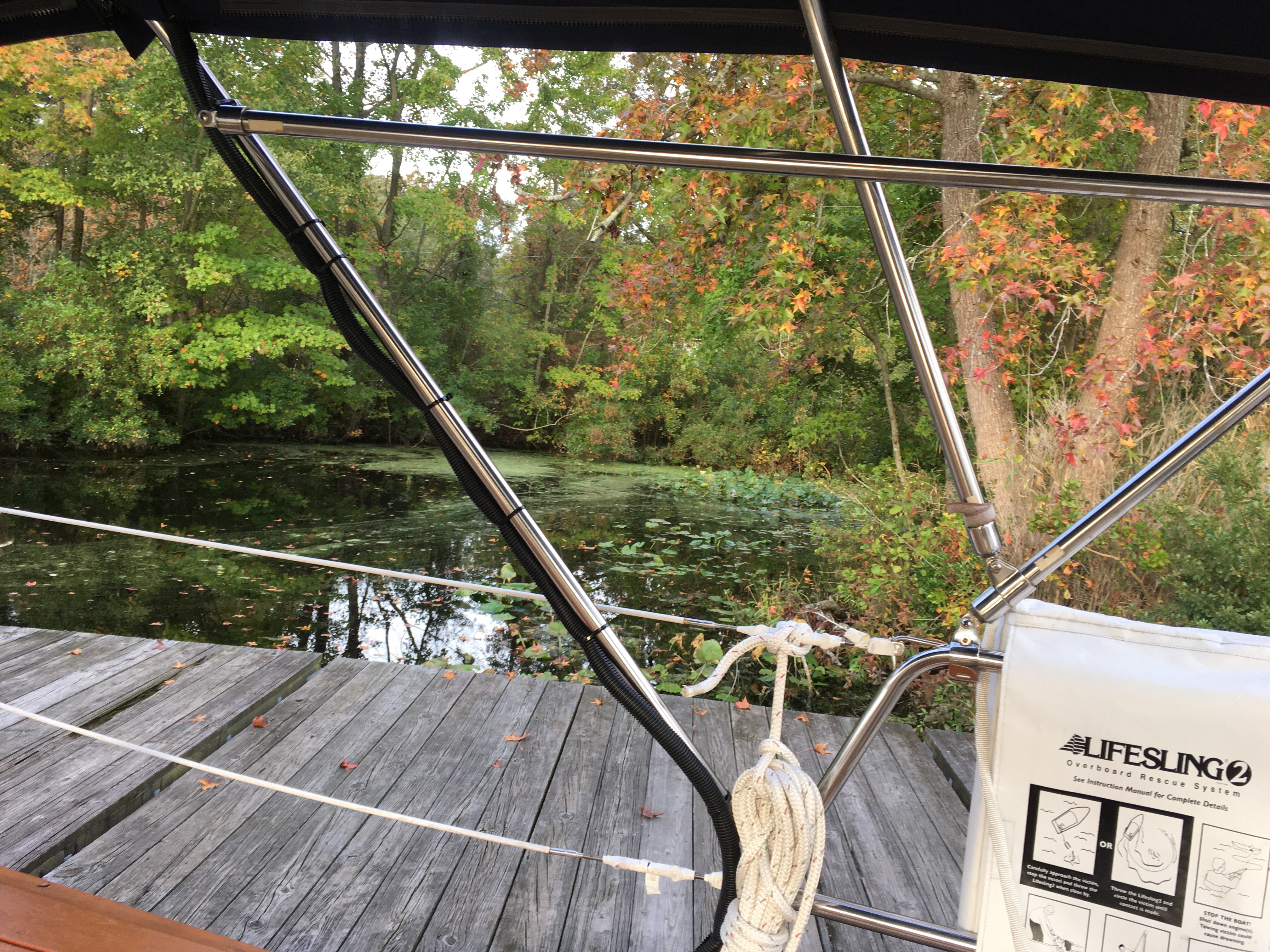
We made it to the Deep Creek lock 60 minutes before the final locking of the day. There was nowhere to tie up or anchor, so I spent the hour driving in circles. The lock has a park with free dockage, so once we got through the lock, we tried up for the night.

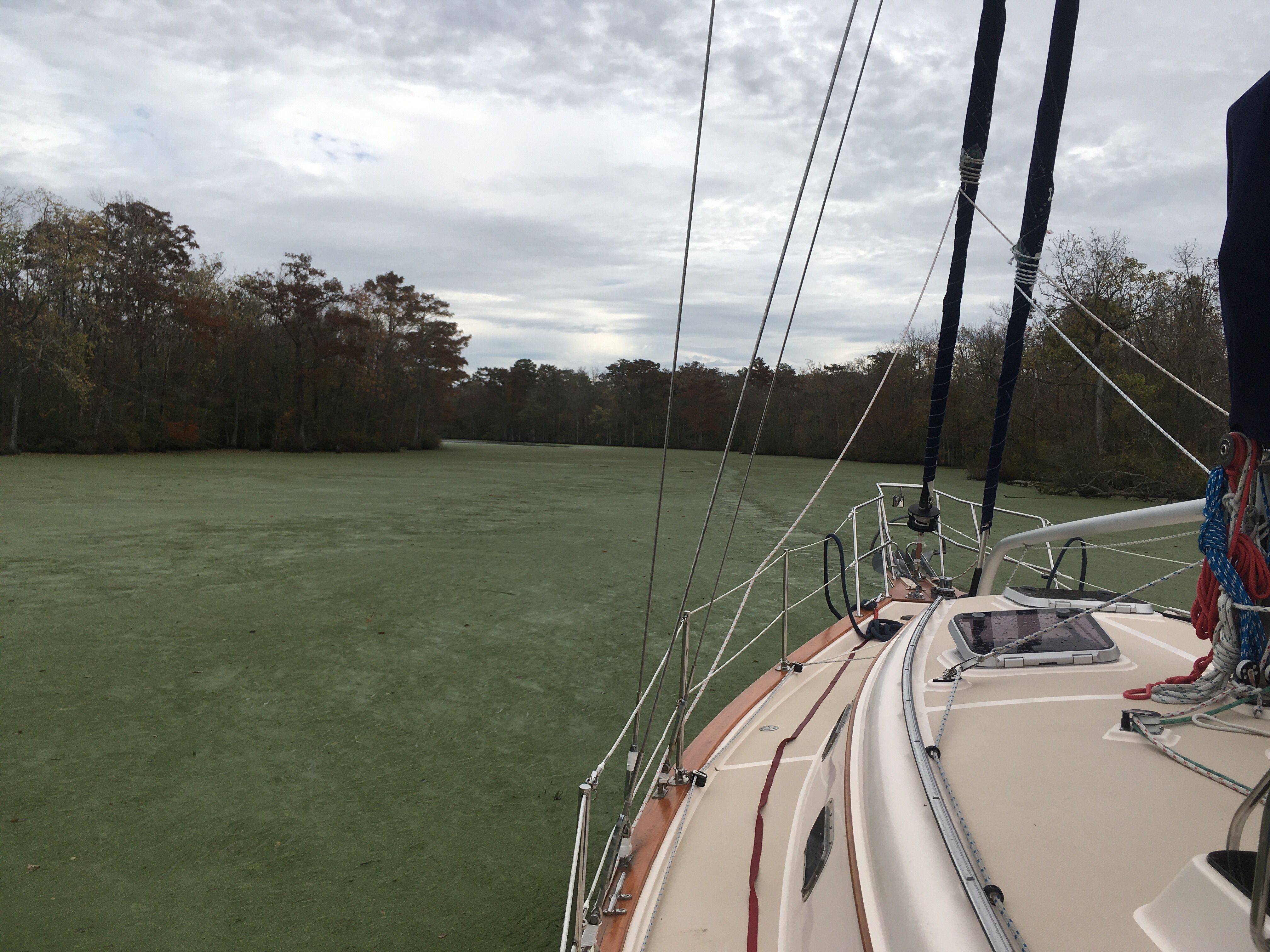
This time of year, the canal is covered with duckweed. We were warned by everyone to clean our strainer on the engine cooling raw water intake every chance we got. Every time the engine was turned off, I’d clean the duckweed out of the strainer, and it was full. I also kept an eye on the engine temperature and the water exiting the exhaust.

At the South Mills lock, the end of the swamp, I cleaned the strainer but I still wasn’t getting water flow. I figured out that my thru-hull intake strainer was clogged. That strainer is external and the only way to access it is from outside the boat, below the water.  We desperately needed to find a way to keep the engine from overheating until we could reach an area where I could work on the issue – but Elizabeth City was another 18 miles away.

Luckily, Kim-lien and James were with us to help as I tried several quick fixes to keep us moving.  Initially tried running the engine in short spurts, and then coasting while the engine cooled, but our progress was too slow and we’d never make it to our destination before dark. So, I opened up the bilge and tried pouring water directly into the engine intake to see if that could keep the engine from overheating.  It worked but we were taking water from our fresh water tank a glass at a time so it was very labor intensive and we were concerned that we might run our tank dry before reaching our destination. Finally figured out a way to pull water from the canal into the secondary strainer using a hose hooked up to the anchor wash down pump.

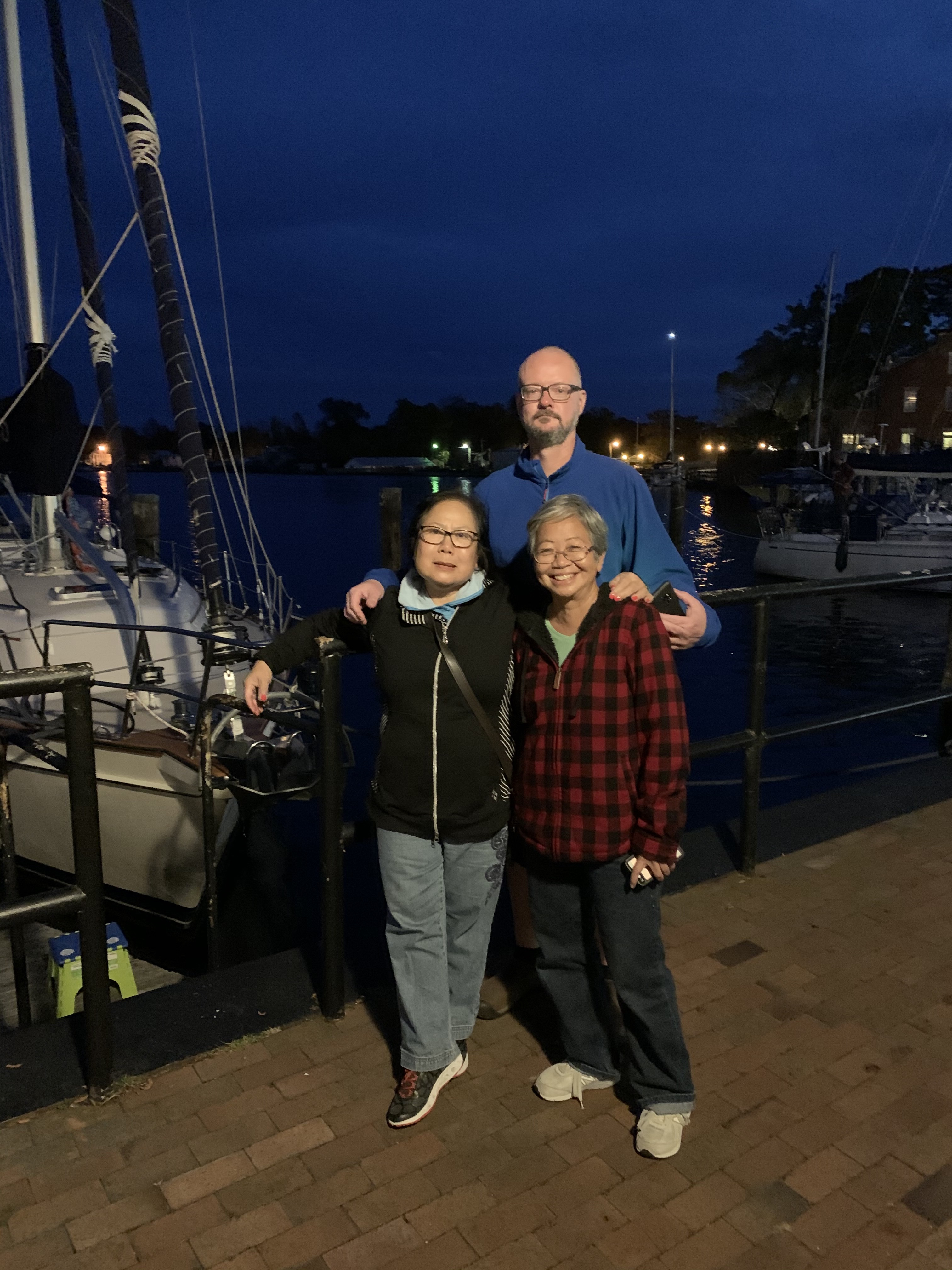
It worked. The engine stayed cool and the wash down pump never got clogged. We got tied up, said good bye to our friends, had some dinner and went to bed.

We’re going to stay in Elizabeth City until Friday. There is a big blow coming in from the south and we don’t want to try and cross the Albemarle Sound beating into 25 knot winds. It will give me the day to try and get the raw water intake cleaned. Hopefully, I won’t have to go diving.

Odyssey tied up to the free dock at Deep Creek Lock
The swamp from the Deep Creek Lock
Odyssey driving through the canal through the swamp
A section of heavy duckweed

Family and Friends

One drawback to going on an extended sailing adventure is time away from family and friends. Even when folks offered to meet up with us at a distant port, scheduling was a challenge because we were on the move, and needed to work around the weather conditions. Norfolk seemed to be the best place to meet up since we were planning to stay there until after hurricane season. So, in case you were wondering why we haven’t updated the blog for a while, it’s because we’ve been busy getting together with visiting family and friends in Norfolk . . .

Dinner with Steve and Mary-Lou.
Kim-Lien, James, and myself at the Mariners Museum and Park trail
Kim-Lien and Sue riding on the bow through the Dismal Swamp.
Kim-Lien, James, and Sue at the Elizabeth City town dock.

Norfolk

We divided the trip from Annapolis to Norfolk into three days. We sailed during the day, and anchoring at night. We were in no rush and the Chesapeake has plenty of rivers and creeks to anchor in.

On Sunday, the remnants a tropical storm was in the area. The forecast called for rain and winds up to 30 knots. We debated about spending an extra day at anchor, but the forecast wasn’t that bad, so we headed out.

The winds were stronger than predicted and it was a heavy blowing rain. I do have a Bimini covering the cockpit, but the wind was blowing the rain in and soaking us. The rain got bad enough that it started interfering with the touch screen on the chart plotter. Near the end of the day, the chart plotter became useless.

Even with good rain gear, on days like that you’re going to be wet and cold. I was very happy to finally pull into the creek, drop the anchor, and put on some dry clothes.

Monday started out perfect. A nice down wind sail. We were in a pack of 6 boats all heading to Norfolk. By afternoon, the winds lightened up and we had to motor sail the rest of the way.

We finally made it to Rebel Marina in Willoughby Bay, on the north side of Norfolk. You can see our location here. We are across the bay from the Navy base, the largest in the world. Currently, there are 3 aircraft carriers in port.

There’s also an airfield on the base and the helicopters are coming and going right over the boat all day long.

We’re planning on staying at least a week here. Then we’ll be heading down the ICW and going through the Dismal Swamp.

Rebel Marina
Three aircraft carriers in dock around the corner from us.
The Norfolk Rebel. The only sailing tug boat.

Annapolis

Sue and I have been in Annapolis the past 4 days getting work done on the boat. I had the rig tuned, the freezer inspected, and more solar added to the boat.

This boat yard is the largest I’ve ever been to. It’s also a marine industrial park. Anything you need is just a walk away. I was able to restock filters, oil, replace some drain hoses. All just walking to the different businesses in the yard. A Bluetooth dongle failed on a solar charge controller. No worries, there’s a Victron dealer here too.

Today, we head out and start making our way to Norfolk.

The Bay Bridges
The yard
More of the yard
Stacking the boats
New solar panels mounted on the Bimini

Worton Creek

Last night we anchored at the entrance to Worton Creek. It’s a very roomy anchorage and since the winds are light, I didn’t have to worry about getting the best wind protection.

Dusk was very noisy as flock after honking flock of Canadian geese came in. Once the sun went down it was quiet and calm.

Today we have a short 4 hour trip to Annapolis. I tried to break the trip up into small day trips to make it easier on Sue.

The dock master at the marina we’re planning on staying at isn’t sure he’ll have a slip for us tonight. I need to call in the afternoon to see if anything opened up. The big Annapolis boat show wrapped up Monday night and all the marinas are packed. Hopefully, there will be a boat who’s crew isn’t too hungover to leave today. If not, I’ll find somewhere to anchor or another marina.

Our Anchorage for the night
We have neighbors for the night

Chesapeake City

Today we made it to Chesapeake City, Maryland. Initially, we anchored, but changed our minds after seeing the forecast. Rain and cold, so we contacted the local marina and got a slip.

As I was pulling into the slip, the dockhand yelled and told me they require ALL boats to back into slips. For those who don’t know, maneuverable powerboats back in, not sailboats. As sailboats go, my full keel is probably one of the worst at backing up.

This bothered me enough that had I not already paid for the slip, I’d have gone back on anchor and taken my chances with the rain and cold.

With the help of two dockhands and almost melting my bow thruster, I was able to back into the slip. Ugh.

Enough complaining, we have our heat and we’re enjoying the evening on Odyssey. Sue did great the last 2 travel days. She’s getting around easier and has been able to help out with docking and anchoring.

We have the heater on high, power for the heating pad, showers with unlimited hot water, and a Tiki bar 50 feet away. Does life get any better?

Odyssey backed into her slip.
The Inn, Restaurant, Marina. They have a Tiki bar!

Cohansey Cove

We left Canyon Club marina yesterday morning and the water was still too high for us to make it under the bridges. So, it was back out into the ocean.

The winds were light and the waves also settled down. Sue was below secured and medicated.

There are many shoals and reefs at the entrance to Delaware Bay. The ICW is a short cut around them. Since we had to take the long way, we couldn’t make it as far as I had hoped. We did made it as far as the Cohansey River.

Much to my surprise, as I was pulling into Cohansey Cove, Sue came up with our wireless headsets and was ready to drop the anchor for me.

There are crab pots EVERYWHERE in the cove and I was happy to have the help. I finally found a bare patch, and Sue dropped the anchor just as the sun set.

We had a restful night and we’re about to pull up anchor and head for Chesapeake City.

Sunrise in Cohansey Cove

Status Update

Sue and I have been enjoying our time in Cape May. In the afternoons we’ve been walking around town to explore. Yesterday, Sue got in 12,000 steps and 10,000 the day before. The medication is helping, but it’s probably going to be several weeks before she’s fully recovered.

Typically, we use our bicycles to get around, but it’s probably best Sue stays off her bike until the ribs heal. Grocieries are over a mile away, so I’ve been taking my bike to the store to restock. I’ll make one more run today to top off.

The entire time we’ve been in Cape May there have been Gale and Storm warnings issued. The wind is predicted to let up on Saturday so we’re going to head out then. Even though the wind dies down, it’s going to take a few days for the waves the settle down on the ocean. So, we’re going to try and make it out the ICW.

There are 2 bridges on the ICW that we need to go under and they’re lower then I like. ALL bridges scare me, even when I know I have plenty of clearance, but these two are tight. My mast is 54’3″, so the manual says, I’ve never measured it. Plus, I have antennas on top of the mast. The bridge clearance is 55′ at MHHW (Mean Higher High Water), or so the charts say. MHHW is 5.45′ above MLLW (Mean Lowest Low Water) which is 0 on the tide stations and charts. So, at MLLW, I should have 60.45′ clearance under the bridge. Tomorrow afternoons low tide is projected to be 0.4′ above MLLW, so I should have 60 foot clearance.

There is another variable I have to take into account. High winds can raise the water levels; and they have been. Looking at the tide station data, the actual water levels at the last low tide is 3.5′ higher than predicted. This explains why coastal flood warnings have been posted in the area. The flood warnings expire at 1AM Saturday, so I’m hoping water levels will be lower and I’ll have room to make it under the bridge.

Sorry to bore you with all the technical data, but it’s not all sunshine and Mai-Tai’s on the boat. Here are some pictures to make up for it.

I never knew they had fish cleaning services. I guess most fishermen wouldn’t have the equipment needed to clean a huge marlin.
Urgent Care and Discount Liquor Store. There’s also a West Marine across the street. This is a boating community.
The bridge that haunts me.
It looks higher than 54 foot to me.
Hey, what’s that on top of the mast? A Windex, HD TV antenna, and the VHF antenna. How high is it?

Crew down

The coast of New Jersey has been the most challenging of the trip. I’m not sure if it’s the time of year or if it’s always this bad. The wind is always blowing 20 to 25 with large waves. When the wind direction changes, there might a few hours where it lightens up. That’s why we had to run to Atlantic City overnight.

Our trip to Cape May was during the day and I was going to be able to helm the entire way. The winds were 20 to 25 knots and 30 degrees off our heading, not really sailable, but the weather was forcasted to get worse and if we didn’t leave, we’d be stuck in Atlantic City for a week.

Coming out of the inlet was miserable. The waves were stacked up, the water was shallow, and the wind was blowing. At least I had timed the current correctly. There were also 3 other sailboats heading to the same place. It was too rough for me to mess with the main sail. I was able to get the staysail out on the Hoyte boom and get a little stability from the waves.

Our plan was to anchor for the night near the Coast Guard station in Cape May. In the morning, we’d go back out into the ocean, round Cape May Point, and then we’d be in the Deleware Bay and somewhat protected.

About 2 hours out from Cape May, Sue was below moving through the cabin. A large wave hit from a strange angle and sent her flying across the cabin and crashing into the corner of the settee. She was in a lot of pain and was having difficulty moving. I got some pillows and tried to make her as comfortable as I could on the floor.

I got back to the helm, increased the speed on the diesel motor and started looking for a marina. The closest was the Canyon Club Resort Marina in Cape May. They use Dockwa for their reservations so I submitted a reservation request for the night. I also noticed they were a quarter mile away from an urgent care place.

The way Dockwa works is you submit a reservation request. Usually, it comes back in 5 to 10 minutes with an confimation or a denial. For some reason, this request was taking forever. After 30 minutes, I thought we were going to be denied. Just as I was about to call the marina, the confirmation came through.

As I was coming into the inlet I called the marina to get a slip assignment and to also request an easy docking slip. My crew was injured and I’d be doing a single hand docking. The guys at Canyon Club couldn’t have been more herlpful. They gave me the perfect spot and had dock hands waiting for my arrival.

Once I was off the phone, I slowed the boat down and prayed the autopilot would keep us in the narrow channel while I deployed the fenders and dock lines. The water is shallow and if I leave the channel, I’ll run aground even at high tide. When I’m single handed, I do the fenders and lines at sea where there is plenty of the room, but it was too rough for me to try and go on deck.

We got tied up and checked in. We had dinner and decided to see how Sue was in the morning. If she slept if off, we’d leave in the AM. If not, we’d visit the Urgent Care in the AM.

She wasn’t better in the AM so we walked to the Urgent Care for her to get checked out. The X-rays showed she fractured a rib on her right side. Not much they can do for broken ribs. The doctor did prescribe pain medication, which appears to be helping somewhat. And, we extended our stay at the marina another night.

The dockmaster at Canyon Club remarked that if we’re going the great loop we should join AGLCA (America’s Great Loop Cruisers’ Association) because we’ll get discounts at most of the marinas in the area, including theirs. They even gave me a coupon code for a big discount on the membership. So, now we’re members of the AGLCA and I guess that makes us Loopers, or at least Loopie.

This does change our plans a bit. No more open ocean for a while, except tomorrow when we go out and round Cape May Point and enter the Deleware Bay. From there, we’ll travel through the C and D canal (Chesapeake and Deleware canal). In the Chesapeake we’ll stop in Annapolis and Norfolk for a while.

I’m also planning on buying a few ICW (Inter Coastal Waterway) guides. For those who don’t know, you can travel from Cape May New Jersey all the way to Brownsville Texas without ever going into the Ocean. You have to deal with bridges and boat wakes, but it should be smoother than the open ocean. We’ll see.

Canyon Club is a fishing port. We’re the only sailboat.
The Coast Guard station across the bay.

Atlantic City

We finally left Sandy Hook and sailed to Atlantic City. There’s been a weather system in the area causing high winds and we thought we’d be stuck in Sandy Hook for a while.

We got lucky and a short window opened where the winds let up long enough for us to make a run to Atlantic City. Problem was it was at night. If we didn’t take this window, we were going to stuck in Sandy Hook for a while.

The winds died down to 15 knots and we headed out. The waves haven’t died down yet so the beginning of the trip was very bumpy. That’s when you find items you forgot to stow away.

The window wasn’t long enough and the winds were back up to 30 knots when he hit Atlantic City. It’s always fun trying to dock in high winds. The marina was great about it. They sent me a map that showed where the transients are kept and told me to take any open slip. They also had a dock hand waiting in the area to help grab lines.

We got in, hooked up the AC power and turned the heat on. We spent the day relaxing and exploring the casinos. Today is laundry day. If we can figure out the bus system we’ll try to get some shopping in. It is not bike or pedestrian friendly town.

Here’s a picture of the marina

Sandy Hook NJ

We had hoped to sail through the night and make it to Atlantic City. Unfortunately, the weather wouldn’t cooperate so we changed plans and anchored behind Sandy Hook NJ.

The prediction was for strong winds out of the north and north east all night, which would have made for great downwind sailing. But, there was line after line of thunderstorms passing through. Neither of us wanted to deal with those at night along with strong winds and the larger waves from the strong winds.

We dropped the anchor just as the sun was setting and the first of many thunderstorms rolled in. When we arrived the temperature was in the 90s. When we woke up this morning it was in the 50s. The high is only going to be in the low 60s. What a difference a cold front makes.

We have a 13 hour trip to Atlantic City and we’re not seeing great conditions in the near future. Our current plan is to head out tonight after the winds die down a bit and start making our way. The winds are scheduled to shift and be on our nose so we’ll have to motor more than we’d like, but it’s the best opportunity we have for the next few days. We can’t stay here because we’re exposed to a west wind and Friday afternoon the winds shifts to the west.

The Coast Guard station we’re anchored by.
The beach we’re anchored off.

New York City by water

We’re at Croton-on-Hudson meeting up with friends for dinner at a local restaurant. No walking or biking this time. They had a car, so first class traveling for us. It’s been two and a half months since we’ve ridden in a car. Hard to believe.

The trip up the Hudson was easier and more relaxing than the East River.

We’ll probably stay at the marina for two days and then head to Atlantic City.

Here are some photos Sue took on our boat tour of NYC

The first of many bridges as we head toward the city
Rikers Island and a plane taking off from LaGuardia.
The UN

Empire State from the East River
Looks like someone’s calculations were off
Williamsburg Bridge
Manhattan and Brooklyn bridges
Staten Island ferry terminal
Staten Island ferry
Statue of Liberty
Ellis Island
I wonder how much aviation traffic they get these days.
An old aircraft carrier
More cruise ships

New York City

This morning we left Port Washington and headed down the East River for Manhattan,

I had done my homework on the tides and currents and decided that 11:30 was the best time for us to leave. At about 9AM, other boats started leaving. I tracked them on AIS, and they were heading toward the East River. But, they’re leaving too early and they’ll have to fight the current. If they’d just wait a couple of hours the conditions would be perfect.

Then I started thinking they know something that I don’t. I stuck to my guns. Don’t follow the herd, it only leads you to slaughter. I’ll wait and enjoy the favorable current.

We made it and yes, they did know something I didn’t know. They fought the current so they could go through Hells Gate at slack water (no current) which is the best, or maybe the only way, one should take a sailboat through. I had the full current going with me, just as I had planned.

It was rough and turbulent waters. There were eddies, whirlpools, and waves. Steering was very difficult because the current and waves were knocking us around. It reminded me of white water rafting, except I was in my sailboat.

On a positive note, we were the only boat transiting the area. For a beautiful Sunday afternoon in New York City thats shocking. It seems everyone except me knows to wait for slack water when going through Hells Gate.

Next time, I’ll follow the Swedish boat. They were the first to leave and the ones I was tracking on AIS. I suspect they have a lot of experience with tides and currents.

Tomorrow we get up early and make our way up the Hudson to Croton on Hudson. We booked a slip at a nice marina for a night. But, I’m sure we’ll add a night. Haven’t had unlimited hot water since Portland.

Here are some pictures from our anchorage

We’re anchored behind the Statue of Liberty. She’s knocking down a lot of the boat wakes.
The leaves are starting to turn here too
Manhattan

Chicago to New York City in 3000 miles

We left Block Island RI and sailed through the night to the town of Port Washington NY, a suburb of New York City. As we were pulling into the town mooring field, our chart plotter odometer hit 3000 nautical miles.

I used Google to see how far a car trip would be from North Point Marina in Winthrop Harbor, where I keep Odyssey, to the town dingy dock in Port Washington NY. I was shocked to find out it’s only 882 statute miles, or 766 nautical miles, and 13 hours and 22 minutes of driving.

I managed to tack on an extra 2234 miles and more than 2 months on this trip. And let’s not forget the encounter with a hurricane.

I bring this up because I’m where I would be had I taken the Erie Canal in Buffalo NY instead of the St. Lawrence Seaway. Looking back at my posts, I see we reached Port Colborne on August 9th. Port Colborne and Buffalo are close, and I would have been there on the 9th as well.

Most cruisers take a week on the Erie Canal and a few more days to make it down the Hudson to New York City, so I could have been here on August 19th, not September 29th.

On August 19th, I was only in Montréal with many more miles facing me. I still had the option of bailing out and taking the Richelieu River to Lake Champlain, to the Hudson River. To be honest, if there was a marina that could have taken my mast down for me, I think I would have chickened out and taken the river. I was starting to get nervous about the remoteness and not being able to speak French while traveling through rural Quebec.

Along the Great Lakes I met several folks at marinas who thought I was crazy for going down the St Lawrence. One was so adamant that I had to keep avoiding him during our stay. The one thing they all had in common: None of them had made the trip themselves.

I’ve only talked to one person who’s gone this route. He said it’s fine. You’ll have a great trip. He didn’t think I was crazy or the trip was extreme.

Of the thousands of YouTube sailing / boating channels out there, I could only find one that made the trip: Tony Fleming of Fleming Yachts. He took Venture, his Fleming 65, down the St. Lawrence. First he hit the Galapagos Island, which should tell you the type of adventurer he is. I can’t tell you how many times I’ve watched his video to prepare for our trip. It also covers the Erie Canal too, which is how we’re planning on coming home.

I’ve been thinking a lot about my choices and I’m glad I took the St Lawrence. My Canadian friends kept telling me how nice Montreal and Quebec City are, and they were right. Remote Quebec is also beautiful. I saw several types of whales, seals, and even auroras at night. We met great people in PEI while we rode out the hurricane. More beautiful landscape in Nova Scotia. It’s been an amazing trip so far.

Would I do the trip again? Yes, but I’d do it differently. Odyssey is more setup for warm weather. I’d want a boat that was setup for colder weather. I’d also want to have a French speaker on board and at least 3 crew. And, more time to stop and enjoy the scenery.

Next time I’m in the area might be on one of those Princess cruise ships we kept encountering in the middle of the night. As I was freezing in my unprotected cockpit I was thinking how nice it would be to walk through the sliding glass door from the balcony into a warm cabin. Call room service and have a hot chocolate delivered to the room to warm me up.

We’re in Port Washington now. We got our New York pizza and I loved it. Salvatore’s Coal Fired Pizza. Got a white pie and a sausage pie. Loved them both!

We also made it to West Marine, the liquor store, and finally the grocery store. How’d we get all that back in our dingy? We didn’t. The town has a water taxi to take you from your boat to the docks. It’s all included in the mooring fee.

Port Washington
A boat next to us all the way from Sweden.

Exploring Block Island

Today we dropped the dingy and headed to shore to explore Block Island. The cruising guide says there’s a public dingy dock, but doesn’t tell you where it is. On ActiveCaptain, someone mentioned it by the Oars restaurant. I found that on google and pulled up to a broken up dock with barely enough water to bring the dingy in. Time must be tough. We tied up and hit the town.

We were chatting with a couple by public restrooms and they mentioned they’re on a boat. We were the only ones on the dingy dock so I asked where they parked. Come to find out, I was at the old abandoned dock. The city built a new state of the art dingy dock this year. Sue and I ran back and moved our boat before the old dock sank.

The island is nice. More of the Mackinaw Island vibe, not the Put-In-Bay vibe I was worried it might have. I have been told it’s much different during the summer season.

We explored the beaches, walked the streets, stopped in a few shops and finally stopped for lunch. While eating, I checked the weather report and high gust warnings had just been issued.

A cold front was coming through and bringing thunderstorms with it. The warnings said these storms would have gusts to 50mph. We thought it best to head back to the boat just in case the anchor drags. We were also worried about trying to drive and dock the dingy in the waves that come with those high winds. Remember, we’re staying in the free section, it’s a long way from the boat to the dock.

Came back to the boat and relaxed for the rest of the afternoon. The winds did pick up, the storms came, and the gusts were strong. The anchor held and I had the diesel running just in case. The winds also shifted 180 degrees, which can unhook anchored pretty easily.

As promised, I got more pictures:

Looks like they’ve had a lot of experience with boaters.
The tourist map to the island.
One of the beaches
Sue at the beach
One of the hotels
The towns fancy new dingy dock
Odyssey on anchor
The warning that chased us off the island