Goodbye Alligators, Hello Dolphins

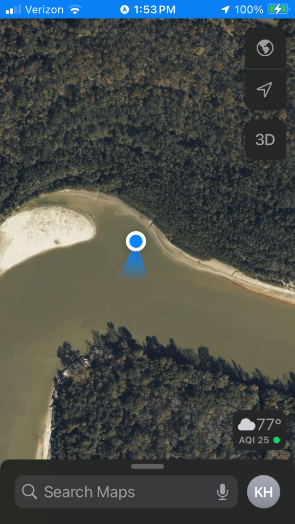
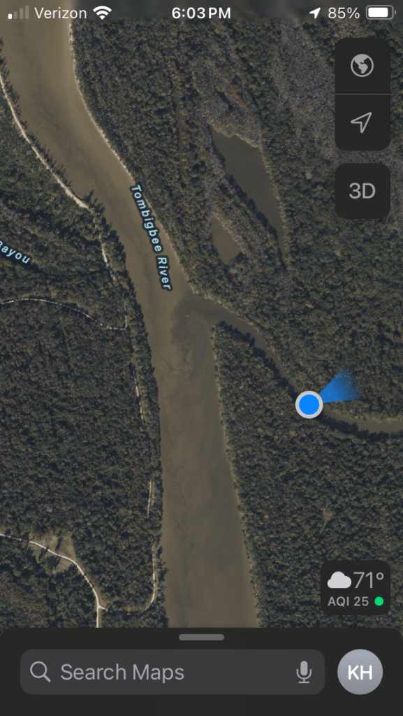
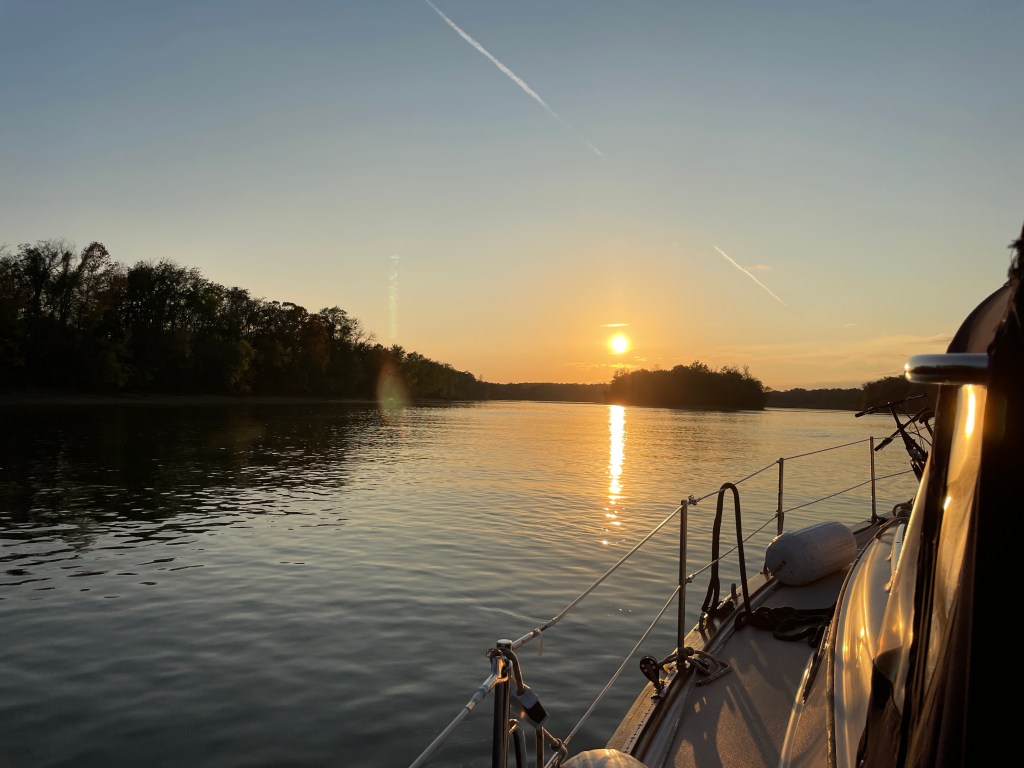
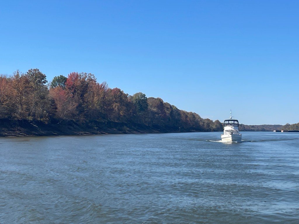
Once we left Mobile, we slowly made our way to Pensacola and the riggers who are going to be stepping out mast. Along the way we found 2 very nice anchorages.

The first anchorage was just east of Gulf Shores in front of Water Front Park. It was a Saturday night and there was an outdoor wedding reception going on. We were close enough to enjoy the live band, but far enough to not be intrusive.

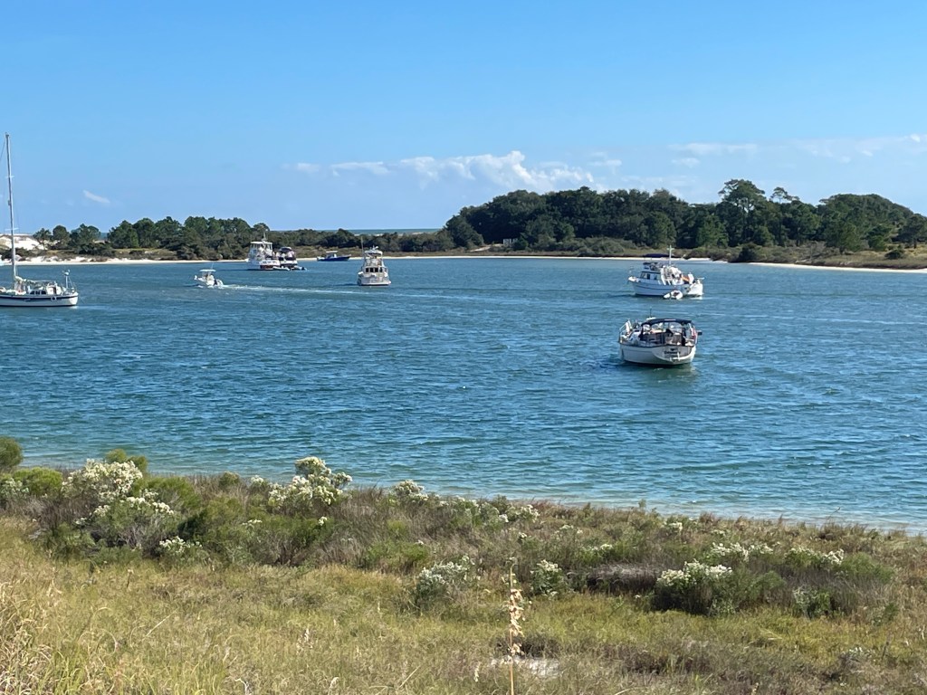
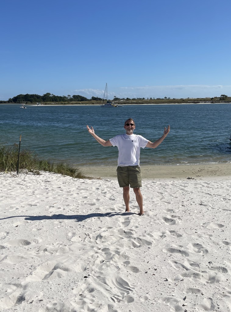
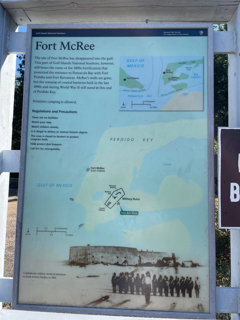
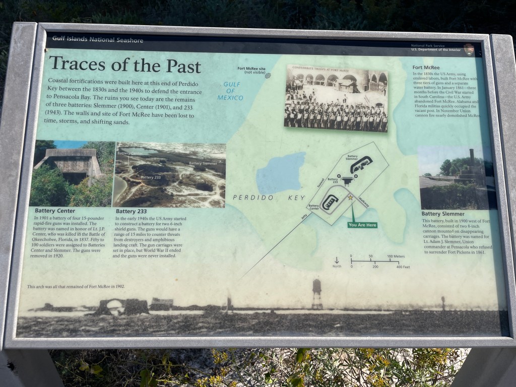
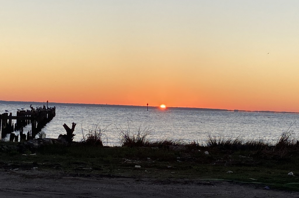
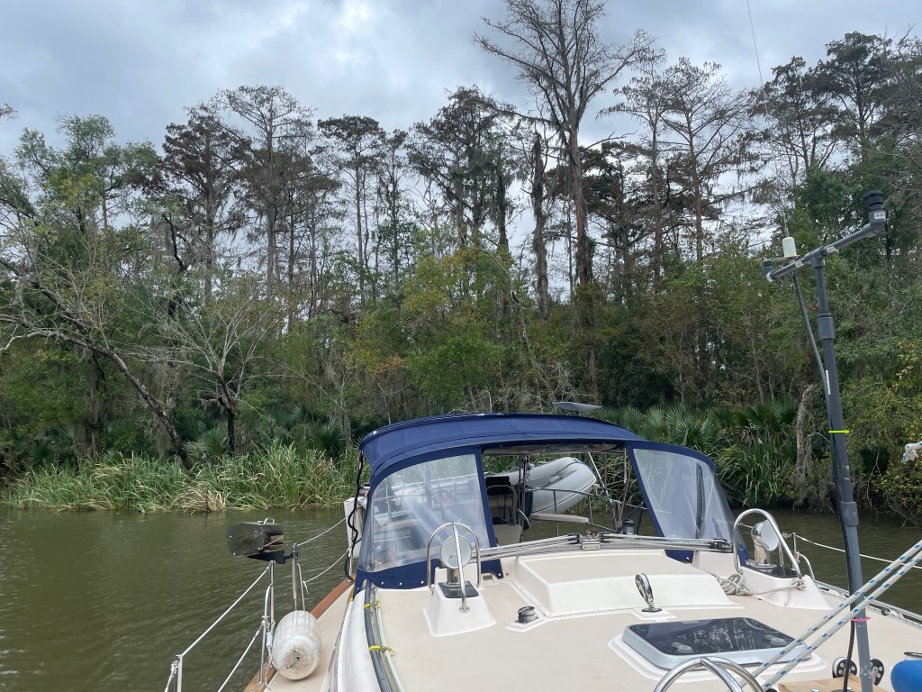
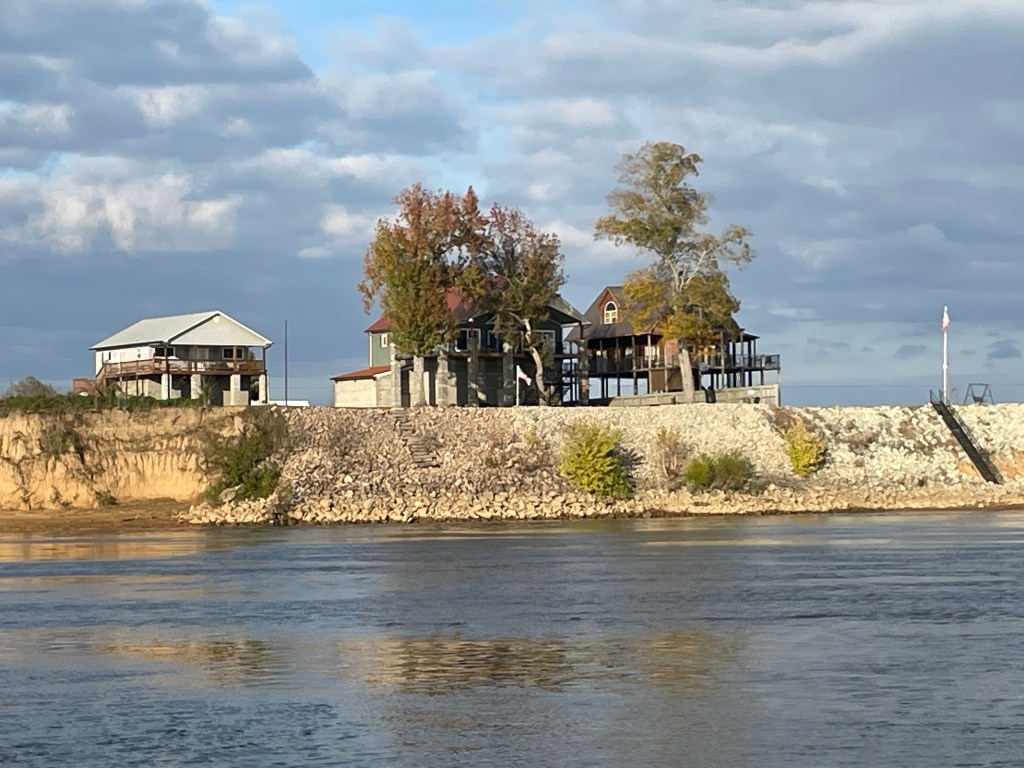
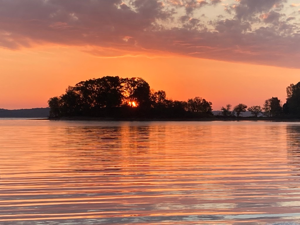
The second night and my favorite anchorage was at Fort McRee, just outside of Pensacola. We took the dingy out and explored the island and also some of the trails to the old fort. This anchorage is next to Navel Air Station Pensacola, which is the home of the Blue Angels. Monday morning we were awoken by very loud jets.

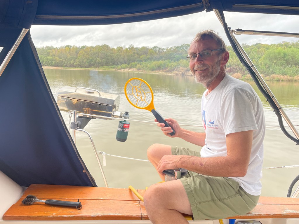
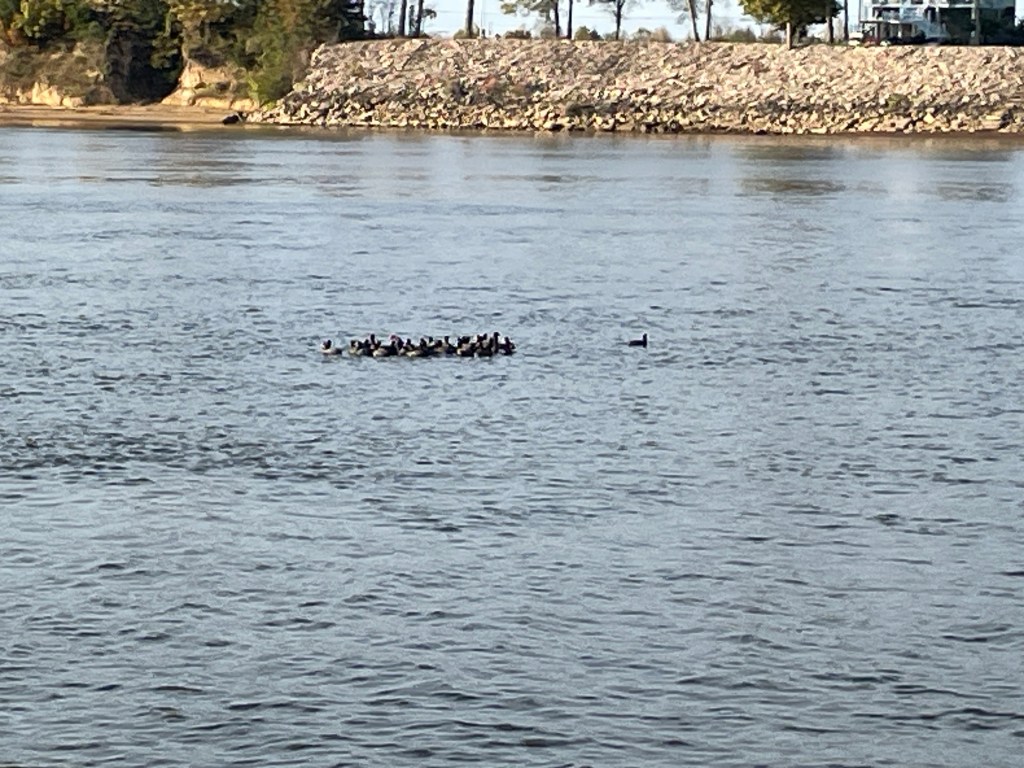
In the tail end of the river, we were seeing alligators. Now that we’re in the Gulf ICW, we’re seeing lots of Dolphins. Pictures? Unfortunately, no. They seem to be camera shy and know when I’m trying to take their picture.

In the Gulf Shore area, there are several dolphin tour boats that come out. I’m not sure if they feed the dolphins but in that area they seem to be especially inquisitive and come up to slow moving boats, almost like they’re looking for a snack.

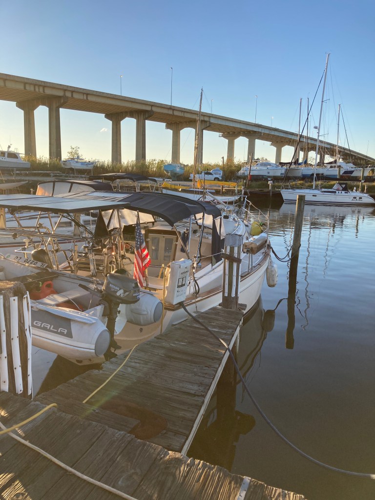
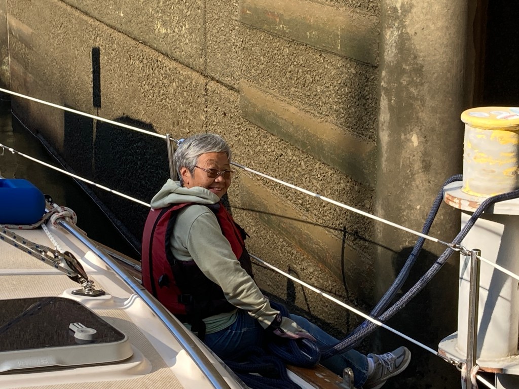
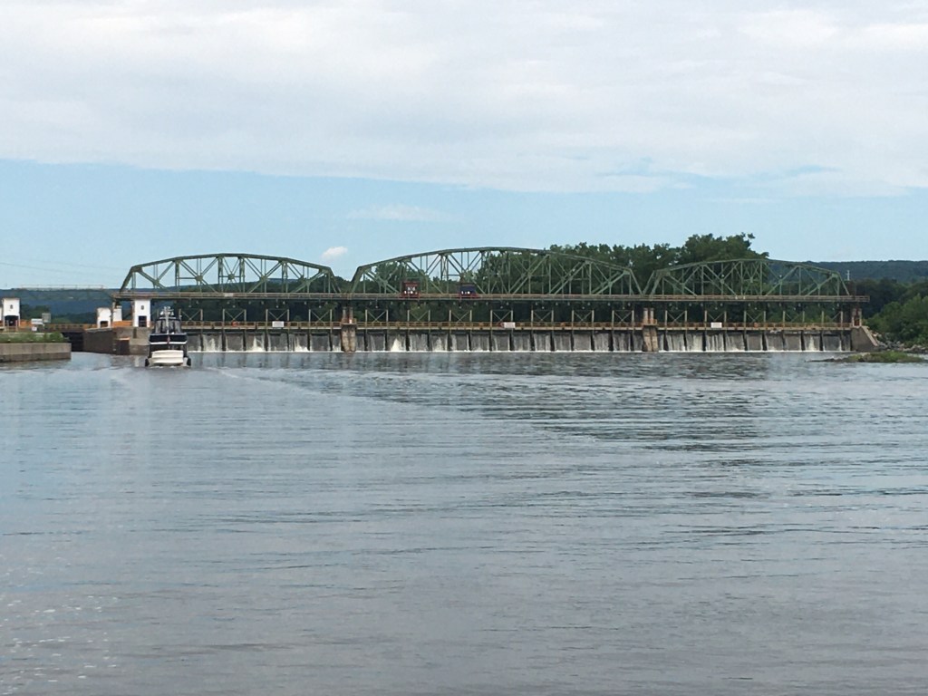
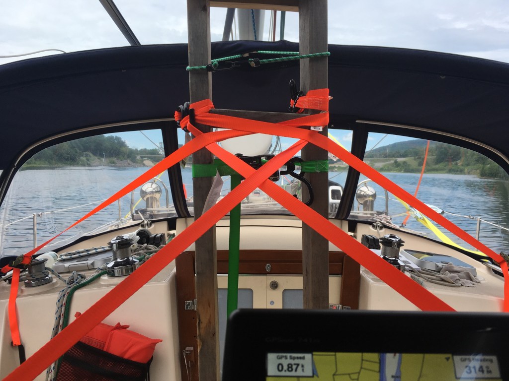
The ride from Fort McRee to the marina where the riggers are had us cross Pensacola Bay. And it was a rough crossing, worse than Mobile bay. We made it into the marina Monday afternoon and talked to the riggers only to find out that they’re not going to be able to step our mast until Friday. The remnants of Tropical Storm Sara was going to hit us Tuesday and Wednesday and they have prior commitments on Thursday. So, here we sit waiting until Friday to get our mast back.

The shop did let us use one of their work trucks so we could hit Publix and re-fill our propane tank. Better yet — it’s a manual transmission. I’ve always owned manuals up until my latest van purchase. I forgot how much I miss a manual transmission. Enough so that I started searching some of the car shopping websites. Hey, I’m at a marina with nothing else to do.

Propane refills are getting harder and harder to fine. Seems everyone wants to do the tank exchange. Our boat does not use the standard 20 lb tanks and we have to find a refill place. Just adds another challenge to the boating life.

More to come…

Odyssey anchored at Fort McRee cove
This is what I’ve been waiting for. Warm weather, sand, and sunshine. Now I just need a mast.
One of the informational signs on the trails around Fort McRee
Another of the informational signs on the trails around Fort McRee

Mobile AL

We finally finished the river system and made it into Mobile Bay and the Dog River where we stayed 2 nights at a much needed marina. Our last night on the river system had us less than 10 miles away from Mobile. Due to high winds and small craft advisories, almost all the Loopers were also anchored out waiting for the weather to change before entering Mobile Bay.

We chose to anchor in a narrow and deep creek off the main river. In addition to the anchor off our bow, I also set a stern anchor because there was a predicted wind shift and there was going to be a tide change while we slept. Either the wind or the tide would have caused our boat to swing into shore.

In the morning I was listening to the radio and there were 3 looper boats who ended up dragging anchor and running aground at a nearby anchorage. One boat tried to power his way off only to have his anchor chain wrap around the prop and prop shaft.

BoatUS was called and the 3 boats were pulled off. The boat that wrapped the chain around their prop needed to be towed to Mobile, hauled out, and repaired. They ended up staying at the same marina as us and the skipper told me the issue was not enough scope for the rising tide and the wind shift.

One of the daily tasks that’s especially hard when traveling by boat is shopping. We don’t have a car and rarely are marinas within walking distance of a supermarket. We have bicycles BUT the roads around here do not have bike lanes; most of them don’t even have shoulders. So, we rely on Instacart and Amazon. Once we knew we were going to be in a marina, I started placing orders with Amazon. According to Amazon, the packages were going to arrive before we were with Prime 2-day delivery. Well, they didn’t. And they didn’t arrive the next day, or the day after that. I finally had to cancel the delivery since we were scheduled to leave the marina. I was talking to some locals and it sounds like that’s normal for these parts. I know we’ve encountered that in rural areas, but Mobile isn’t exactly rural.

Fortunately, InstaCart kind of worked out. It’s great if you want packaged goods or processed foods. Not so good with produce or anything that’s fresh. I took a chance and let them pick out a few chuck roasts. They’re edible, but certainly not ones I would have picked. But, they got the cheese and toilet paper right.

We left Mobile and we’ve got 2 nights to make it to Pensacola to get our mast. More time than needed, but I’d rather have extra time than not enough. The weather forecast was showing our departure time to be windless and the bay to be calm. It was windless, but the bay was anything but calm. There were still left over waves from the blow the last couple of days. The waves finally settled down as we made our way South and East.

Once the sea state had settled, I had the opportunity to commission my fresh water maker. I wanted to wait for salt water since that’s the real test. I was also waiting for “cleaner” water. Not that Mobile Bay has clean water, but it certainly has less sediment than the river.

I’m happy to report that it worked! That’s been one of my concerns because I haven’t used the water maker since 2020. I replaced all the pre-filters before we left, but never ran it. It was always on my to-do list. On our run down today I was able to add 30 gallons to our water tanks.

Tomorrow we’ll be anchoring off of and visiting the Gulf Island National Seashore.

More to come…

Coming into Mobile
A large ship in dry dock.
Heavy equipment to offload incoming ocean cargo ships.
It’s official. We have palm trees.
A sunrise over Mobile Bay.
Some of the older marinas have short, fixed docks — instead of floating docks that raise and lower with the water levels. This can make getting on and off the boat more difficult, especially at high tide.
We’re on the ICW now. The gold square or triangle on top of the number signifies it’s an ICW marker. No Red-Right-Return the ICW has it own set of rules.

So close, yet so far

We’re so close to finishing the river system as we’re less than 20 miles from Mobile Bay and we’re held up at anchor. There are small craft advisories on Mobile Bay and without my mast and sails, it’s a little too much for us to handle. So, here we sit with several other looper boats waiting for the weather to change.

For those following, you might have noticed that it’s taking hours to make just a bit of progress. The southern part of the river system is meander after meander. The joke is they started building the Tenn-Tom waterway up north and straightened out the meanders. As they worked their way south, they started running low on money and left it as is. Check the pictures and I’ll show a few examples.

Cutting canals to bypass meanders also leaves part of the old river for us to pull over at night and anchor safely out of the main channel. Since we don’t have that, we have to find small nooks or creeks to try and get out of the channel. This also requires setting two anchors, one off the bow and one off the stern, to make sure you don’t drift into the channel if the wind changes or picks up.

Tomorrow, we’re making way to Mobile and a marina for a couple of days. I have several orders from Amazon being shipped and we need to hit the grocery store again. Saturday we start heading to Pensacola and hopefully, we’ll have our mast back Monday or Tuesday.

All the meanders in the river are slowing down our progress. We have to travel 5 miles to make 1 mile of progress.
Here is one of the nooks in the river I anchored in. I dropped the bow anchor and then used the dinghy to drop a stern anchor in the nook to pull Odyssey in. Northbound tows look like they’re going to run you over but end up turning at the last minute. I did check with a North bound and South bound captain to make sure I’m in a safe spot.
Here is a small but deep creek that I pulling into for the night. There were 2 other boats anchored in there with us. Again, had to use two anchors to make sure we didn’t drift aground when the wind changes.
Bugs can be a big problem when we’re anchored in creeks, especially at dusk. Fortunately, Sue’s cousin Laura gifted us with a couple of electric bug zappers after her last visit. My advice, don’t go grilling without them.
No leaves changing color here. Everything is still green.
Making our way down a foggy river. We couldn’t wait for it to burn off because of the distance we needed to cover that day.

Demopolis AL

A lot has happened since we last wrote. It’s been very busy as we try to push our way down the rivers and get to the Gulf, only to have a hurricane waiting for us, maybe… We’ll see.

Iuka MS is the start of the Tenn-Tom waterway, which connects the Tennessee River with the Black Warrior-Tombigbee waterway and has a total of 10 locks, dropping us 175 feet.

We left Iuka and made a short run to anchor just above the first of the 10 locks. Our goal was to try and make 6 locks the next day, so we woke before sunrise to make the lock at first light. We had contingency plans just in case we couldn’t make the 6 but as luck would have it, we did make, and we anchored out for the night.

The next day, we make way for Columbus MS and the Columbus Marina. It was nice to have power and air conditioning for the night. It’s been unseasonably warm lately and in the mid to high 80s. I’m not complaining, but it is nice to have air conditioning every now and then.

After Columbus, we continued to work our way south. Our luck with Locks had started to turn on us. We were hoping to knock out 2 locks and then anchor, but the lock just down stream of Columbus was doing maintenance and we had to wait until 9:00 before we could leave.

We did not have enough time to lock through the next one and had to anchor about 5 miles upstream. We called first thing in the morning and they said they’d be ready for us. As we approached, a North bound commercial tow had called and we ended up waiting almost an hour for it to pass before we had our turn. We eventually made it to Demopolis AL and the Kingfisher Bay Marina.

While we’re at the marina, we topped off with diesel and water. We’re also making a run to Walmart for groceries. We only have 216 miles left to Mobile, but this is the last marina and shopping opportunity until Mobile, so we want to make the most of it. Hard to believe we’re almost done.

Unfortunately, this last 200 miles is the hardest part of the entire trip. Not only are there no marinas or stores, there’s also VERY limited areas to anchor. The marina here has a 2 day limit and they already warned us that 17 boats are scheduled to leave when we are. Worse yet, we’re the slowest, so the only places to anchor are going to be the least desirable.

So far, we’ve pretty much had “off river” anchorages. The last 200 miles we’re going to be fighting to inch into a small nook in the river that’s out of the channel, and use 2 anchors to make sure the wind doesn’t blow us into the channel or shore. I’m setup to stern anchor, but I don’t like it. Worse case scenario, we continue motoring through the night. The big spot light is charged and the electronic charts have been incredibly accurate.

We’ll let you know how it turns out.

Creeks that flow into the Tenn-Tom have these concrete spillway that try to break up the water.
One of the spots we anchored at along they way to Demopolis.
We saw the beautiful White Cliffs of Epes along the way.

Mississippi

No, we’re not back on the Mississippi river, we’re in the state of Mississippi. We left Green Turtle Bay, cut over from the Cumberland to the Tennessee river and worked our way down to the state of Mississippi, leaving the Tennessee river and starting the Tenn-Tom waterway. We only have 450 of the 1,300 miles left to reach the ocean. The best part, is it’s all down hill from here.

Ever since we left the Mississippi river, we’ve been heading upstream. Depending on where we are, the contrary current is not bad — other times it’s quite strong. Always noticeable and present especially where the river bends, narrows, shallows, or as we approach a dam. Approaching the Pickwick dam, our speed was less than 5 knots.

On a positive notes, the Ohio, Cumberland, and Tennessee rivers always had plenty of water compared to the Illinois and Mississippi.

We stopped off in Iuka MS at Aqua Harbor marina to re-supply and to get off the waterway on a weekend. It amazed me the number of bass boats running up and down the river on a weekend. Aqua Harbor has courtesy cars that we took into the big city of Corinth, MS, to hit a Walmart Superstore and a Kroger’s. As a local told us, they have all the fast food restaurants… Just not Culver’s.

I am surprised by the number of Illinoisans we’re running into down here. I understand. The lake never freezes, the marinas are open year round, the price of living is very attractive, and it’s beautiful country. Who knows, maybe the next chapter of my life will see me on Pickwick lake with a pontoon boat fishing for bass everyday. Or, a J-24 ripping it up on the lake.

We head out tomorrow to start our journey down the Tenn-Tom. More to come…

We anchored in a little bay off the lake at Fort Heiman, which is part of the National Park Services Fort Donelson National Battlefield. The reviews all say the National Park is in disrepair. Judging by the state of the shelter on shore, I’m going to agree.
We had a couple of cool mornings. Hat, Gloves, and several layers on. It had been raining so my paper guide book is in a plastic bag.
We encountered a cruise ship on the River. I saw it on AIS and it was labeled passenger ship. I was thinking a small tour boat, but no, it’s a large cruise ship.
Apparently, the cruise ship does not travel at night. Not sure the reason, but they run aground like the tows do, lift their bow up, and out comes a gangway. Genius.
This should give you some idea on how high they expect the water to be during floods. We’re at winter levels now, which is lower than summer levels.
I have no idea what variety of ducks these are, but they always clump together. At a distance, they look like a log floating down the river. It’s not until we get close that we realize it’s a flock of ducks.
A sunset at one of our anchorages. We’re safely tucked behind an island outside of the channel.
The Pickwick Lock. One of our larger locks where we’re raised 55 foot.
Sue managing the boat on our ride up the lock. I love these floating bits. It makes locking so much easier. On the St. Lawrence and Erie Canal, the lock master would drop you a line. This is much easier. Sailboats seem to have more issues locking up than powerboats. As the lock chamber fills with water, but current will catch the keel and bounce us around pretty good.

Goodbye Illinois

We left Paducah and headed up the Ohio river a bit to catch the Cumberland River into Lake Barkley. If you look on the map it is closer to take the Tennessee river into Kentucky Lake but we were warned by locals that there is more commercial traffic on the Tennessee and wait times at the lock to get into Kentucky Lake will eat up any time savings on the shorter distance.

The other reason we did the Cumberland is Green Turtle Bay resort, the marina we’ve been staying at, is on Lake Barkley. While here, we were able to get laundry done, top off our diesel and fresh water, and use their courtesy car to go Ace hardware and Walmart. They also allow us to have packages shipped.

You may have noticed that we anchored in a bay just north of Green Turtle Bay. The reason is we had a long upstream trip to make and a lock to go through. We were not sure when we’d arrive and thought it best to anchor for the night and arrive at the marina the next day. It also gave us an extra day to have our packages delivered.

Now back to the title of this post, Goodbye Illinois. Illinois is a big state. I don’t have the figures, but I’m guessing on the Loop, only Florida has more travel miles than Illinois. Once we headed up the Cumberland river, we left Illinois for good. We’re in Kentucky now but in one travel day, we’ll be at the Kentucky – Tennessee border. Another 2 days and we’ll be at the Tennessee – Mississippi border.

And yes, we did visit the National Quilt Museum while in Paducah. It was impressive. If you happen to be in the area, we’d recommend you stop for a few hours and visit it.

More to come.

Traveling up the Cumberland River with our buddy boat Persystence.
Sunrise anchored in Double Creek Bay on Lake Barkley.
Some of the impressive quilts at the museum.
The polar bear was made with different pieces of lace.

Ohio River

We completed the Mississippi River at the town of Cairo IL and started heading up the Ohio River. On the Mississippi, we had a nice 2+ knot current in our favor. On the Ohio, we’re heading upstream against a 1 knot current.

The town of Cairo is interesting. By land, there’s not much here. By water, it’s the intersection of two of the busiest water routes on the river system. There were swarms of tows (tug and barges), parked barges, both in and outside of the channel, tugs running between barges, and support boats on the move. They were all on AIS but at some point, we reached information saturation. The screen became too cluttered with too much information and it was almost more of a hindrance than a help.

The Cairo boat traffic was also making constant announcements on the VHF radio, which is the preferred form of communications. That didn’t help much either. These are professionals who’ve been doing this day in and day out for years. They all know each other and have developed their own verbal shorthand with auctioneer speed. And we were warned most of the crew were from Memphis and further south, making comprehension even more difficult.

I’ve been through many congested waterways on our journeys and I’m going to say this was probably the most stressful. The Hudson River through Manhattan during rush hour was my previous high point, but I believe Cairo has it beat.

The water levels on the Ohio are higher and most of the anchorages are available to us. We took our time and decided to split the trip to Paducah into 2 days, anchoring just below the newly built Olmsted Lock and Dam. The Olmsted Lock master helped guide us to an area where they keep their work equipment and we had a restful night.

The next day we made it into Paducah KY were we have reservations at the town dock for 2 nights.

More to come…

Olmsted Lock is a dual chamber lock to provide increased throughput. We happen to be in the river side lock. Both were operating at the time.
Odyssey and others tied up at the Paducah City dock.
The ramp from the city dock to the top of the levee. Quite the climb.
One of the highlights of Paducah is the National Quilt Museum.
In the downtown area, historic murals have been painted on the flood walls.
And not just a few murals, there are many. Each has an informational plaque describing the history it depicts. You could spend hours walking the wall, enjoying the art, and reading the descriptions.
Downtown Paducah with it’s many shops, restaurants, and bars.

Low Water

Like the Illinois River, the Mississippi river is also very low. There is plenty of water for us to travel, but many of the anchorages are dry. This is causing us to make inconsistent trips. The next stopping area may be 40 miles one day and 90 miles the next. Most Loopers use the Nebo App, which is a boat tracking and messaging tool. I’m often messaging boats who are a day ahead of me to get updated conditions.

We left Alton, IL on Monday and did our only 2 locks on the Mississippi river. We won’t have to deal with another lock until the Ohio River and the Olmsted Lock and then the Barkley Lock to get into Kentucky Lake.

From Alton, our next stop was the iconic Hoppies in Imperial MO, where we got an updated briefing from Debbie, the owner’s daughter. Glad we stopped because she had updated info on river conditions. As I write, we’re anchored in an area she told us about that’s not in ANY of guide books or charts. Before we committed to it, I used Nebo to messages some boats I knew anchored there the night before.

After Hoppies, we turned up the Kaskaskia River and anchored on the lock wall. Our group that left Alton together all tied up to the same lock wall and we spent the evening chatting and making plans for the next day.

From the Kaskaskia, we had a long journey of almost 100 miles to get to the newly found, unnamed anchorage. I don’t even know what to call it. The phone seems to think I’m in the town of Diehlstadt MO, so I’ll go with that.

Tomorrow we finish the Mississippi River and at Cairo IL turn up the Ohio River. More to come on that.

We were joking about Alton being the town that time forgot. We found the appliance store is an IBM authorized dealer. If you need a selectric typewriter fixed, this is the place.
One of the murals on the buildings in downtown Alton
Leaving the Alton Marina at sun up heading towards the Mel Price lock and dam.
Motoring down the river in St. Louis. The famous Arch.
Tied up to the famous Hoppies Marina. Last fuel stop until Paducah KY.
Passing a large dredger. Always make you nervous. There is a reason they’re there, it’s shallow.
This is where we anchored. How low is the water? That is normally an Island on the left. As you can see, the river is dried up on the back side.

On the Mississippi River

We left Beardstown IL and made a 58 mile run to Willow Island, which is just north of the town of Hardin IL. It was a very cold night on anchor. We do have heat, but we need AC power to run it. No shore power, no heat. I do have my trusty Honda Generator that I’ll use in extreme conditions, and that night was extreme.

When we woke in the morning it was in the low 30s in the morning. The boat was covered in frost and the steam coming off the 60 degree water gave us zero visibility. I fired up the generator, let the heater run for a bit, made a cup of coffee, and waited for the fog to burn off a bit.

Once we got moving it was a 31 mile run to the town of Grafton IL and the end of the Illinois river. Then it was another 15 miles down the Mississippi river to Alton IL, where we are now and were we’re going to stay for a few days doing chores and preparing for the next leg of our journey.

We encountered several car ferries on the Southern Illinois River.
One of the larger tugs we encountered. They we pushing 3×5 barges for a total of 15
A frigid morning. Gloves, hat, coat, and the Skipper Bob’s guide book in hand.
Bluffs along the Mississippi River.
The town of Alton from the river.

October 15th Update

During our stay at Heritage Harbor Marina in Ottawa, we attended a Looper briefing the marina puts on every evening. It covers the remaining route to Kentucky Lake. Brice, the gentleman giving the briefing, warned us it was NOT brief. And he was right. Three hours and many pages of notes later, we had all the updated information we needed.

There are several published cruising guides out there and we chose Skipper Bob’s. It’s been around a long time and it’s updated yearly. What the yearly updated guide can’t give is current details. Water levels are very low this year and many marinas and places to anchor are not accessible. In the briefing, they went over which places are still accessible. This has caused us to update our schedule. Some days we may only go 40 miles, other days 70. It’s because we have to know we have a place to spend the night. The briefing alone was worth the price of the slip for the night. By the way, I did hit bottom coming into Heritage Harbor Marina.

After leaving Ottawa, we traveled down the river 40+ miles to Lower Henry island, in the town of Henry. It was one of the deeper anchorages still accessible to sail boats. The next stop would have been Peoria City Dock, which was another 40 miles. Too far to make in a single day for us.

Nice anchorage with plenty of room. Lots of Asian Carp banging the boat, but none made it aboard. Room for many boats but we were by ourselves.

The next stop was Peoria. I called several marinas and none had enough water for us to get in. The only option we had was the free City Dock. The city dock is built for smaller boats but we managed to squeeze ourselves in.

After Peoria, we went through the towns of Goofy Ridge, Liverpool, and finally anchored in Havana. Yes, there is a town in Illinois called Goofy Ridge, look it up. In Havana we anchored behind Quiver Island. Again, one of the few deep water anchorages still accessible to sail boats. Mostly because there is a coal power plant in Havana. Behind the island is where the barges unload the coal every Tuesday. They end up dredging every time they come in to drop off a load of coal.

The next stop was at Logsdon Tug Service in Beardstown, and is were we are as I write this. Even though they charge for rafting up — this isn’t a marina, and there are no docks, power, or amenities. The owners of the tug service realize there are not many options for Loopers to pull over on this part of the river and they allow us to raft up to their barges for the night. Very grateful for that otherwise this would have been a 90 mile day which would require some navigation in the dark (as the days continue to get shorter). And, Beardstown isn’t a bad walking town.

Next stop will be Willow Island. They day after we hit the Mississippi and stop in the town of Alton IL. We have a 3 night stay scheduled in Alton. We need fuel, water, food, laundry, and a break. More to come.

Our friends on Lady A motoring through Starved Rock.
Odyssey squeezed into a 30 foot slip in Peoria. No, I did not knock the power pedestal over. They’re all knocked over. It was a good time for me to work on my dingy.
Odyssey rafted to the barge
The stairs we need to climb to head into town.

Progress so far

For the last 3 days Sue and I have been trying to get back into boat life and learn the river systems. Our boat has lots of storage but only a small percentage is easily accessible. We’ve been digging deep into the back storage areas looking for the most basic of items that would have taken seconds to find at home. We’re getting it all figured out.

Running the rivers is different than being out in big water. We’re encountering more commercial traffic and it’s hard to give them a wide berth in such tight confines. Pleasure craft have the lowest ranking in passing through the locks. At times, you may have to wait several hours for your turn to lock through. We’ve been going down the rivers with 3 other loopers. We’re the only sail boat and they cruise comfortably at 7.5 knots. I can do 7.5 knots, but I’m pushing it so we can stay together and catch the locks together.

As for the trip, day 1 was motoring from Waukegan to Hammond, where we topped off fuel and then anchored at the mouth of the Calumet River. Day 2 we entered the Calumet, passed through 2 locks, and tied up to the free wall in downtown Joliet. Day 3 was 3 locks from Joliet to Heritage Harbor Marina in Ottawa Illinois.

So far, we’ve been very fortunate with the locks because we’re getting locked through right away. But today, we’re parting ways. The locks are getting further, some wanted to spend extra time sight seeing or getting repairs done and I can’t keep up speed wise.

A tight squeeze passing the tows on the river.
All that keeps the Asian Carp out of the Great Lakes.
Sue doing a perfect job handling the boat while we lock down.
In this lock we rafted up to another boat. Sue doing a great job controlling our boat.
The tows are starting to get larger as we make our way down the river.

Departure Date

Sue and I have been frantically packing trying to get our house and boat in order and we’re finally ready enough. You’re never ready, as there’s always one more boat project, house issue, or paperwork problem holding you back. We’re finally ready enough to leave.

I’ve been watching the weather and we have a nice 2 day weather window to make it south on the 8th and 9th. That said, our schedule has us leaving Waukegan Harbor early morning October 9th. Our plan for day 1 is to make it to Hammond Indiana, top off on fuel, and then anchor at the mouth of the Calumet River.

September is one of my favorite times of the year to sail on Lake Michigan. The lake water has heated up to it’s highest temperature of the year, the winds start returning from their August hiatus, and the days are clear and sunny. In October, the weather starts turning bad. More blows, larger waves, and fewer days to travel. That’s why we’ve been watching the weather so intently.

Without sails Odyssey does not handle waves well. Even 1 or 2 foot waves make for an uncomfortable ride. Once we enter the river system, we won’t encounter big water again until the Gulf of Mexico, where we’ll get our mast and sails back.

Our temporary mast complete with VHF radio antenna and an anchor light.
Hammond Marina is at the bottom and our anchor location is at the top where the green anchor icon is.

We’re Back!

As many of you know, Sue and I are currently preparing for our next boat adventure. We’re bringing Odyssey to the ocean through the river system, arriving in Mobile, AL. From Mobile, we’ll head to the Florida Keys, provision one last time, and make our jump to The Bahamas. More details to come.

Our long term plan is to winter in The Bahamas on the boat. In spring we’ll come back to the US, haul out the boat, and spend summer at home in Park Ridge. Chicago has perfect summers that we don’t want to miss. Come fall, we’ll head south to prep the boat for another winter in The Bahamas. The only difference between us and other “snow birds” is the boat life.

There are 3 routes to take from the Great Lakes to the ocean: St. Lawrence Seaway, The Erie Canal, The Midwest River System. We’ve done 2 out of the 3 and have decided to do the Midwest River system this time around. Somewhere in Miami, we’ll have completed America’s Great Loop.

To make it down the river system, we had to unstep (take down) our mast. Our options were to carry it aboard like we did on the Erie Canal, or have it shipped to Pensacola. We opted to have it shipped. The Erie Canal was only 10 days, free of boat wakes, and smaller locks. The trip down the river system is much further, has many boat wakes, and larger commercial locks. Certainly more than we wanted to deal with for a month long trip.

We took Odyssey down to Crowley’s boat yard in Chicago to have our mast taken down and packaged for shipping. The reason we made the trek to Crowley’s is they’re very experienced and it’s a pick up location used by the shipping company. We got there the night before and were greeted at 7AM by a team of riggers with a crane ready to take our mast down. They were done by 9AM. By noon the mast, boom, and whisker pole were bubble wrapped, labeled and ready for shipment.

Crowley’s also has a well stocked chandlery (marine store) where I was able to stock up on hard to find items we’ll need.

More to come…

Chicago from the water.
Odyssey without her mast. That is the Chicago Skyway in the background.
We have a large hole in the center of our deck. I also had to break out the emergency antenna. I will have to come up with a better solution as this only gives us a 3 mile range.

Buffalo

We finished the Erie Canal today. We’re on the town wall in Tonawanda NY. Tomorrow, we’ll head up the Buffalo River to RCR Yachts to have our mast stepped. After that, we booked a marina for 2 nights so I can put our boat back together. There was a lot of work to prep the boat for the canal trip and it’s going to take a couple of days for me to undo it.

I always viewed the Erie Canal as a transportation route, similar to driving an interstate highway through the middle of nowhere. But the reality is, it’s a great cruising ground. There seems to be small towns around every bend in the canal, that still have vibrant downtowns with small shops that haven’t been run out by the chains. Of course the liquor store wanted $13 for a $10 bottle of wine, but it was quaint and wasn’t a big chain store, so I paid the charm tax.

Once the boat is ready, we’re most likely going to sail to Put-in-Bay. We’ll top off our diesel, rest up, and head out to tackle Detroit and the River. Lake Michigan-Huron is very high and the Detroit River, which dumps it into Lake Erie, is flowing fast. We have to try and fight the current to make it up the river to get to Lake Huron.

Our entire trip through the canal we buddy boated with the trawler M/V Sea Lord. We met Joe and Robin in Waterford at the eastern end of the canal and we’ve been running together. They’re a younger couple from Minnesota who are doing the Great Loop, and like us, they’re trying to make it home. We had a great time with them and we’ll miss their company.

Mountains in the eastern part of the canal.
Every lock has a sign that gives all the data.
More landscape shots.
We saw many huge spiders in the locks. This shot was taken by Robin on M/V Sea Lord at one of our stops.
Some sections of the canal were built above lower areas. This was taken at our stop in Medina, where the canal actually crosses over a river and waterfall.
Robin captured a really nice shot of the Ilion Marina. We’re at the end and M/V Sea Lord is in front of us.
M/V Sea Lord in the lock.
M/V Sea Lord going under a bridge to enter a lock.
S/V Odyssey sitting in lock 17.
Even though we dropped our mast, we still can’t make it under the lift bridges on the western end of the canal.
This is how high the bridges lift.

Amsterdam NY

We left Waterford this morning at 7AM. As soon as we left, we had to do the Waterford Flight, which is locks 2 thru 6 one right after the other. Locks 2,3, and 4 were fine, but a strong line of thunderstorms was moving across the area and lock 5 didn’t want us to enter until the storm passed. It was quite the down pour with strong winds. Since I had to take part of my Bimini down, I got soaked. But, we eventually locked through the last of the Flight.

Once we finished the flight, we had a scenic 10 mile run to the next lock. We ended up going through 10 locks today and covered 40 miles. We stopped on the free wall in Amsterdam NY. It does include electricity, so we’ve got the air conditioner running. We also next to a very busy train track near a turn, so it’s extra loud.

Tomorrow, we’re shooting for Ilion, which is 50 miles, but only 7 locks.

Typical dam and lock on the Erie Canal.
My view from the cockpit. Between the mast cradle and the radar, it’s tough to see.