Sue and I have been enjoying our time in Cape May. In the afternoons we’ve been walking around town to explore. Yesterday, Sue got in 12,000 steps and 10,000 the day before. The medication is helping, but it’s probably going to be several weeks before she’s fully recovered.
Typically, we use our bicycles to get around, but it’s probably best Sue stays off her bike until the ribs heal. Grocieries are over a mile away, so I’ve been taking my bike to the store to restock. I’ll make one more run today to top off.
The entire time we’ve been in Cape May there have been Gale and Storm warnings issued. The wind is predicted to let up on Saturday so we’re going to head out then. Even though the wind dies down, it’s going to take a few days for the waves the settle down on the ocean. So, we’re going to try and make it out the ICW.
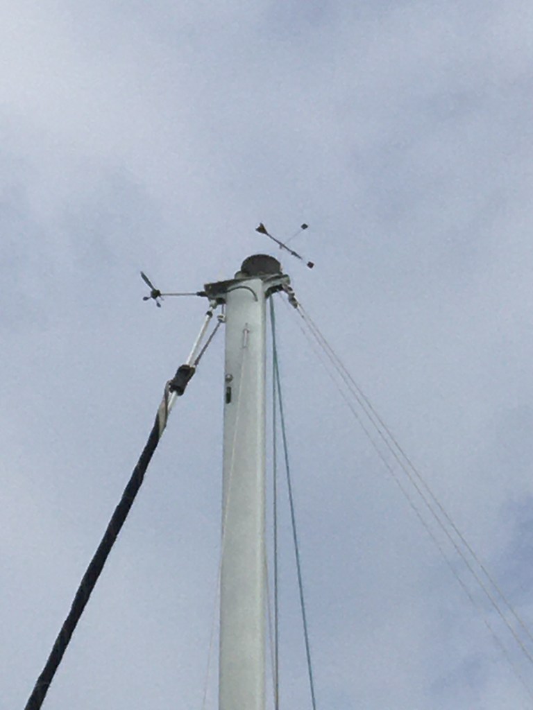
There are 2 bridges on the ICW that we need to go under and they’re lower then I like. ALL bridges scare me, even when I know I have plenty of clearance, but these two are tight. My mast is 54’3″, so the manual says, I’ve never measured it. Plus, I have antennas on top of the mast. The bridge clearance is 55′ at MHHW (Mean Higher High Water), or so the charts say. MHHW is 5.45′ above MLLW (Mean Lowest Low Water) which is 0 on the tide stations and charts. So, at MLLW, I should have 60.45′ clearance under the bridge. Tomorrow afternoons low tide is projected to be 0.4′ above MLLW, so I should have 60 foot clearance.
There is another variable I have to take into account. High winds can raise the water levels; and they have been. Looking at the tide station data, the actual water levels at the last low tide is 3.5′ higher than predicted. This explains why coastal flood warnings have been posted in the area. The flood warnings expire at 1AM Saturday, so I’m hoping water levels will be lower and I’ll have room to make it under the bridge.
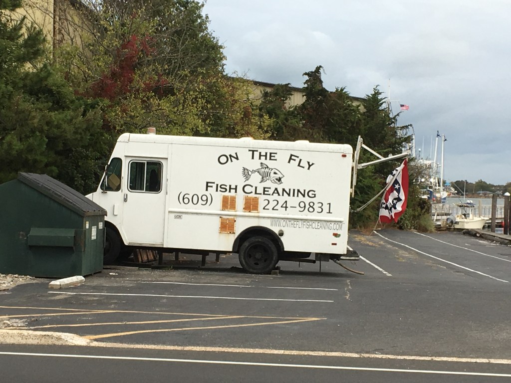
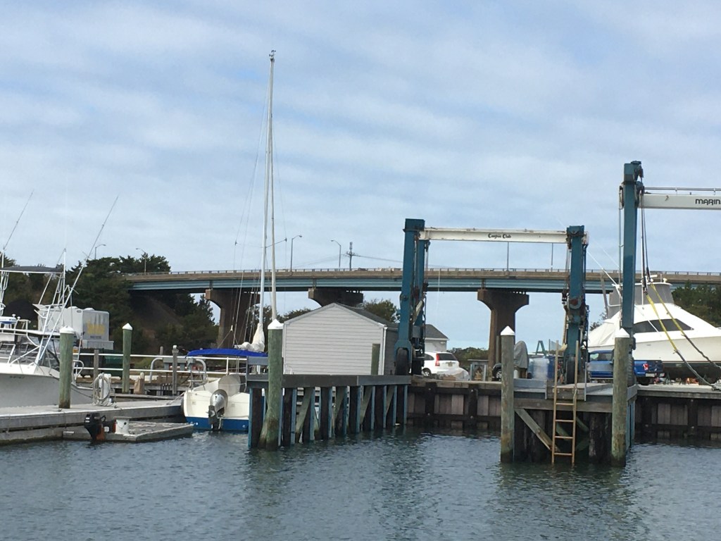
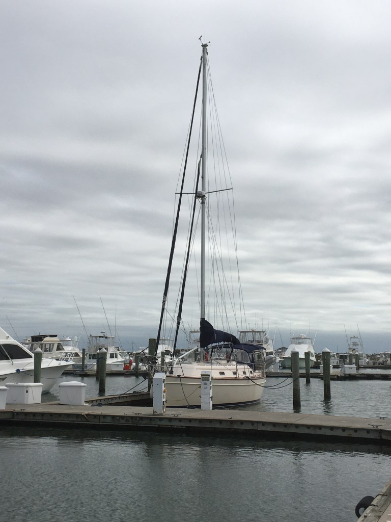
Sorry to bore you with all the technical data, but it’s not all sunshine and Mai-Tai’s on the boat. Here are some pictures to make up for it.